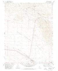
1980 Map of Luning
USGS Topo · Published 1980About this map
Luning sits at the junction of rail and road in this high-desert landscape of Mineral County, where the Southern Pacific railroad cuts across the valley floor. The map highlights a transition from the broad expanse of Soda Spring Valley and the Alkali Flat to the rising elevations of the Gabbs Valley Range. Evidence of human industry and survival is scattered throughout the terrain, from several Borrow Pits and various Prospects to the essential water infrastructure represented by Benton Spring, Upper Benton Spring, and a Water Tank at the edge of the range. For those tracing the remnants of early habitation, the map identifies specific locations of Ruins and a network of Jeep Trails that wind through the hills, providing a window into the era's desert activity and transportation patterns.
Find a feature on this map
20 named features on this map. Tap any name to fly to it.
Don’t see what you’re looking for? This feature index may not catch every label — zoom into the map to look around manually.
Map Details
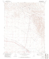
Editions of this 1980 Luning Map
2 editions found
Other maps of this area

1909 · Hawthorne
USGS Topo · 1:250,000

1911 · Hawthorne
USGS Topo · 1:250,000

1915 · Hawthorne
USGS Topo · 1:250,000

1948 · Walker Lake
USGS Topo · 1:250,000

1957 · Walker Lake
USGS Topo · 1:250,000

1962 · Walker Lake
USGS Topo · 1:250,000

1964 · Walker Lake
USGS Topo · 1:250,000

1967 · Mina NW
USGS Topo · 1:24,000
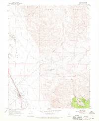
1967 · Mina
USGS Topo · 1:24,000
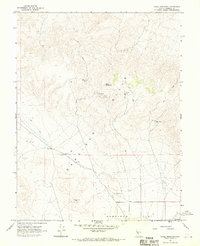
1967 · Mable Mountain
USGS Topo · 1:24,000