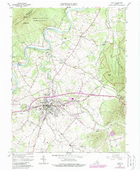
2022 Map of Luray
USGS Topo · Published 2022About this map
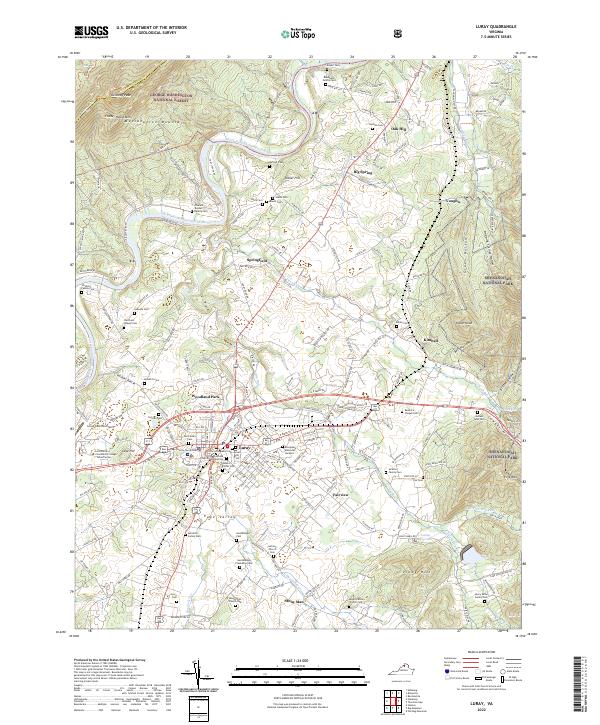
Luray sits at the heart of the Page Valley, flanked by the heights of Massanutten Mountain and the rising slopes of Shenandoah National Park. The South Fork Shenandoah River winds through the western portion of the map, carving a path between the mountain ranges and supporting a landscape dotted with numerous historic family burial grounds. Notable sites like the Charles Keyser Family Cem and the Hershberger Plantation Cem provide a dense genealogical record of early settlement families along the river corridor and the banks of Hawksbill Creek.
Find a feature on this map
189 named features on this map. Tap any name to fly to it.
Don’t see what you’re looking for? This feature index may not catch every label — zoom into the map to look around manually.
Map Details
Editions of this 2022 Luray Map
This is the sole edition of this map. No revisions or reprints were ever made.
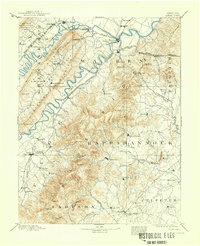
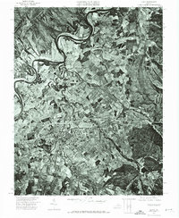
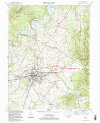
Historical Maps of Vaughn Through Time
6 maps found