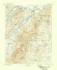
1905 Map of Luray
USGS Topo · Published 1938About this map
The South Fork of Shenandoah River winds through the heart of this landscape, flanked by the massive ridges of Massanutten Mountain and the Blue Ridge. Surveyed in the late 19th century, this map documents the established rail corridors of the Shenandoah Valley Railroad and the Manassas Branch, which facilitated the region's agricultural and industrial exchange. The terrain is defined by prominent peaks like Stony Man and Old Rag Mountain, providing a clear view of the mountain gaps that served as vital transit points, such as Thornton Gap and Chester Gap.
Find a feature on this map
110 named features on this map. Tap any name to fly to it.
Don’t see what you’re looking for? This feature index may not catch every label — zoom into the map to look around manually.
Map Details
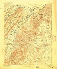
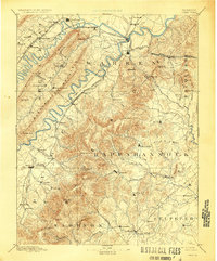
Editions of this 1905 Luray Map
4 editions found

Other maps of this area

1884 · Harpers Ferry
USGS Topo · 1:125,000

1887 · Spottsylvania
USGS Topo · 1:125,000

1891 · Harpers Ferry
USGS Topo · 1:125,000

1891 · Romney
USGS Topo · 1:125,000

1892 · Spottsylvania
USGS Topo · 1:125,000

1892 · Woodstock
USGS Topo · 1:125,000

1892 · Gordonsville
USGS Topo · 1:125,000

1892 · Harrisonburg
USGS Topo · 1:125,000

1893 · Luray
USGS Topo · 1:125,000

1893 · Harpers Ferry
USGS Topo · 1:125,000