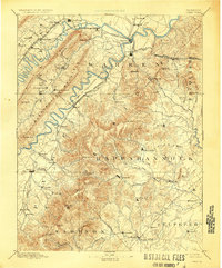
1905 Map of Luray
USGS Topo · Published 1928About this map
Luray and Front Royal anchor this late 19th-century survey of the Blue Ridge and Shenandoah Valley, revealing a landscape defined by prominent gaps and watercourses. The jagged profile of Massanutten Mountain divides the northern and southern forks of the river, with Three Top Mountain and Powell's Mountain creating isolated valleys like the one containing Seven Fountains. Transportation is dominated by the rail corridors, including the Baltimore and Ohio Railroad Valley Branch and the Midland Railroad, which navigated the difficult terrain to connect agricultural centers with broader markets.
Find a feature on this map
105 named features on this map. Tap any name to fly to it.
Don’t see what you’re looking for? This feature index may not catch every label — zoom into the map to look around manually.
Map Details
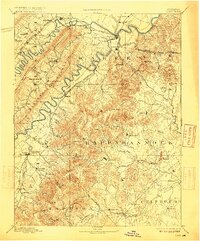
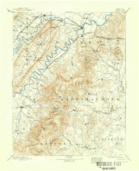
Editions of this 1905 Luray Map
4 editions found

Other maps of this area

1884 · Harpers Ferry
USGS Topo · 1:125,000

1887 · Spottsylvania
USGS Topo · 1:125,000

1891 · Harpers Ferry
USGS Topo · 1:125,000

1891 · Romney
USGS Topo · 1:125,000

1892 · Spottsylvania
USGS Topo · 1:125,000

1892 · Woodstock
USGS Topo · 1:125,000

1892 · Gordonsville
USGS Topo · 1:125,000

1892 · Harrisonburg
USGS Topo · 1:125,000

1893 · Luray
USGS Topo · 1:125,000

1893 · Harpers Ferry
USGS Topo · 1:125,000