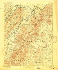
1905 Map of Luray
USGS Topo · Published 1915About this map
Massanutten Mountain and the complex ridges of the Blue Ridge dominate this late nineteenth-century survey, which records a landscape of steep gaps and winding river valleys before modern development. In the northwest, the North Fork of Shenandoah River loops past Strasburg and Fishers Hill, while the South Fork of Shenandoah River carves a deep path through Page and Warren counties. The map captures the vital transportation network of the era, including the Shenandoah Valley Railroad and the Manassas Gap Railroad, which facilitated the movement of goods through mountain passes like Chester Gap and Thornton Gap.
Find a feature on this map
98 named features on this map. Tap any name to fly to it.
Don’t see what you’re looking for? This feature index may not catch every label — zoom into the map to look around manually.
Map Details
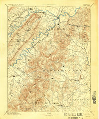
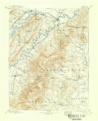
Editions of this 1905 Luray Map
4 editions found

Other maps of this area

1884 · Harpers Ferry
USGS Topo · 1:125,000

1887 · Spottsylvania
USGS Topo · 1:125,000

1891 · Harpers Ferry
USGS Topo · 1:125,000

1891 · Romney
USGS Topo · 1:125,000

1892 · Spottsylvania
USGS Topo · 1:125,000

1892 · Woodstock
USGS Topo · 1:125,000

1892 · Gordonsville
USGS Topo · 1:125,000

1892 · Harrisonburg
USGS Topo · 1:125,000

1893 · Luray
USGS Topo · 1:125,000

1893 · Harpers Ferry
USGS Topo · 1:125,000