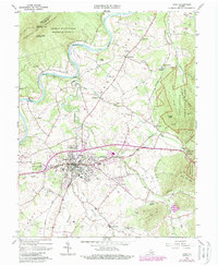
1965 Map of Luray
USGS Topo · Published 1987About this map
Luray serves as the focal point of this Page County survey, situated in the fertile valley between Massanutten Mountain and the western slopes of Shenandoah National Park. The landscape is defined by the winding course of the South Fork Shenandoah River and the commercial influence of the Norfolk and Western railroad, which parallels the river and bisects the town. Beyond the famed Luray Caverns, the map reveals a network of rural life, featuring numerous country churches like Fletcher Chapel and Beahms Chapel. High-clearance routes such as the Fire Road and Jeremys Run Trail offer a detailed look at the steep terrain of Pine Mountain and Kibler Knob, while the valley floor is dotted with small settlements like Big Spring and Springfield.
Find a feature on this map
59 named features on this map. Tap any name to fly to it.
Don’t see what you’re looking for? This feature index may not catch every label — zoom into the map to look around manually.
Map Details
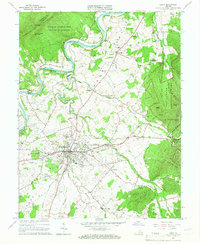
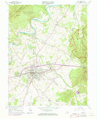
Editions of this 1965 Luray Map
3 editions found
Other maps of this area

1892 · Woodstock
USGS Topo · 1:125,000

1893 · Luray
USGS Topo · 1:125,000

1905 · Luray
USGS Topo · 1:125,000

1923 · Edinburg
USGS Topo · 1:62,500

1929 · Stony Man
USGS Topo · 1:48,000

1933 · Stony Man
USGS Topo · 1:62,500

1942 · Mt Jackson
USGS Topo · 1:62,500

1946 · Mt Jackson
USGS Topo · 1:62,500

1947 · Mt Jackson
USGS Topo · 1:62,500

1947 · Strasburg
USGS Topo · 1:62,500