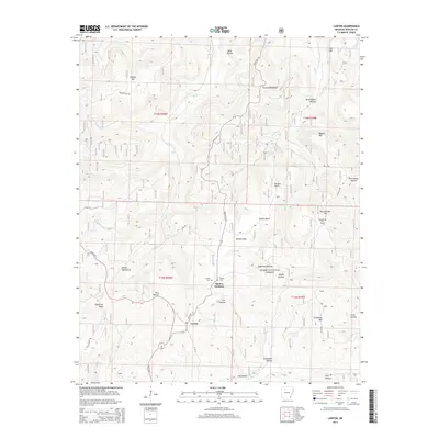
2014 Map of Lurton
USGS Topo · Published 2014About this map
Lurton and Spence Junction sit within the high elevations of the Boston Mountains in this 2014 survey of Newton County. The landscape is defined by deep drainage systems and prominent ridges, including the notable rock formations of Sams Throne and the high vantage of Sassafras Knob. These peaks are separated by numerous hollows, such as Boss Hollow and Greenhaw Hollow, which historically dictated the paths of local roads and settlement patterns. The rugged topography of the Ozark National Forest is marked by watercourses like Big Cr and Cave Cr that cut through the plateaus.
Find a feature on this map
44 named features on this map. Tap any name to fly to it.
Don’t see what you’re looking for? This feature index may not catch every label — zoom into the map to look around manually.
Map Details
Editions of this 2014 Lurton Map
This is the sole edition of this map. No revisions or reprints were ever made.
Other maps of this area

1879 · Washington
USGS Topo · 1:62,500

1887 · Smyrna
USGS Topo · 1:62,500

1889 · Treat
USGS Topo · 1:62,500

1889 · Marshall #3
USGS Topo · 1:62,500

1892 · Marshall
USGS Topo · 1:125,000

1894 · Marshall
USGS Topo · 1:125,000

1901 · Marshall
USGS Topo · 1:125,000

1932 · Treat
USGS Topo · 1:62,500

1933 · Mt Judea
USGS Topo · 1:62,500

1934 · Treat
USGS Topo · 1:62,500