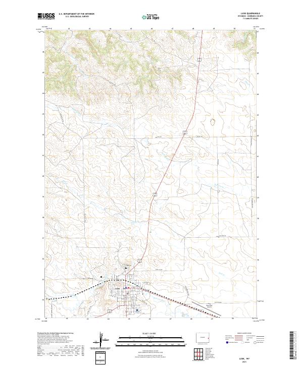
2021 Map of Lusk
USGS Topo · Published 2021About this map
The high plains of eastern Wyoming center on Lusk, where the Niobrara River flows eastward across the southern portion of this landscape. As the county seat, the town is anchored by the Niobrara County Courthouse and a grid of residential streets including E 3rd St and W 5th St. The area north of town is defined by a network of drainage systems like Duck Cr and Old Woman Cr, illustrating the intermittent water patterns characteristic of the region. Local infrastructure such as the Lusk Municipal Airport and the Lusk Cem sit on the periphery of the primary settlement, while rural routes like Twentyeight Rd and Ruffing Rd extend into the surrounding ranch land. The terrain reveals a transition from the structured town life along E Railroad Ave to the open, creek-carved cattle country that defines Niobrara County.
Find a feature on this map
38 named features on this map. Tap any name to fly to it.
Don’t see what you’re looking for? This feature index may not catch every label — zoom into the map to look around manually.
Map Details
Editions of this 2021 Lusk Map
This is the sole edition of this map. No revisions or reprints were ever made.
Other maps of this area

1954 · Torrington
USGS Topo · 1:250,000

1958 · Torrington
USGS Topo · 1:250,000

1974 · Silver Springs
USGS Topo · 1:24,000
1974 · Reynolds Spring
USGS Topo · 1:24,000
1978 · Node
USGS Topo · 1:24,000

1981 · Lusk
USGS Topo · 1:24,000
1981 · Signature Rock
USGS Topo · 1:24,000

1981 · Manville
USGS Topo · 1:24,000
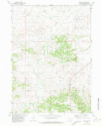
1981 · Hat Rock
USGS Topo · 1:24,000
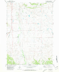
1981 · Hat Creek
USGS Topo · 1:24,000