
1981 Map of Lusk
USGS Topo · Published 1981About this map
The town of Lusk serves as the focal point of this eastern Wyoming landscape, situated along the Chicago and North Western railroad line. The settlement is well-developed with essential community infrastructure, including a High Sch, Hospital, and a Cemetery located north of the main residential grid. Economic activity of the early 1980s is evidenced by a Refinery and Sewage Disposal facility near the Niobrara River, alongside a Fairground and Golf Course that mark the town's social perimeter.
Find a feature on this map
27 named features on this map. Tap any name to fly to it.
Don’t see what you’re looking for? This feature index may not catch every label — zoom into the map to look around manually.
Map Details
Editions of this 1981 Lusk Map
This is the sole edition of this map. No revisions or reprints were ever made.
Other maps of this area

1954 · Torrington
USGS Topo · 1:250,000

1958 · Torrington
USGS Topo · 1:250,000

1974 · Silver Springs
USGS Topo · 1:24,000
1974 · Reynolds Spring
USGS Topo · 1:24,000
1978 · Node
USGS Topo · 1:24,000
1981 · Signature Rock
USGS Topo · 1:24,000

1981 · Manville
USGS Topo · 1:24,000
1981 · Hat Rock
USGS Topo · 1:24,000
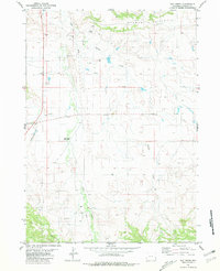
1981 · Hat Creek
USGS Topo · 1:24,000
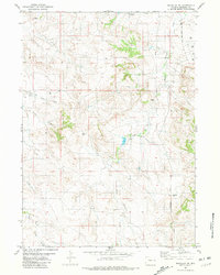
1981 · Manville NE
USGS Topo · 1:24,000