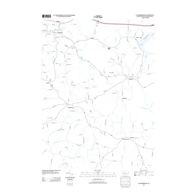
2013 Map of Luthersburg
USGS Topo · Published 2013About this map
Luthersburg stands at the crossroads of this central Pennsylvania landscape, where early 21st-century road networks intersect with a topography defined by significant drainages and ridges. The map highlights the area's complex hydrography, featuring the Du Bois Reservoir in the northeast and numerous creek systems like Anderson Cr, Little Anderson Cr, and E Br Mahoning Cr that carve through the terrain. Small settlements and named communities such as Rockton, Chestnut Grove, and Coal Hill are scattered throughout the quadrangle, reflecting a long history of coal mining and rural industry. The presence of Laurel Ridge and features like Smith Mills suggest a history of lumbering and geographic orientation around the ridges and runs of Clearfield County. This digital survey from the U.S. Geological Survey documents the modern configuration of local-history landmarks, from family-named roads like SGT Read LN to the established residential pockets of Oklahoma and Shaffer.
Find a feature on this map
133 named features on this map. Tap any name to fly to it.
Don’t see what you’re looking for? This feature index may not catch every label — zoom into the map to look around manually.
Map Details
Editions of this 2013 Luthersburg Map
This is the sole edition of this map. No revisions or reprints were ever made.
Other maps of this area

1903 · Curwensville
USGS Topo · 1:62,500

1906 · Punxsutawney
USGS Topo · 1:62,500

1922 · Du Bois
USGS Topo · 1:62,500

1924 · Du Bois
USGS Topo · 1:62,500

1929 · Penfield
USGS Topo · 1:62,500

1932 · Penfield
USGS Topo · 1:62,500

1939 · Curwensville
USGS Topo · 1:62,500

1939 · Punxsutawney
USGS Topo · 1:62,500

1942 · Curwensville
USGS Topo · 1:62,500

1942 · Punxsutawney
USGS Topo · 1:62,500