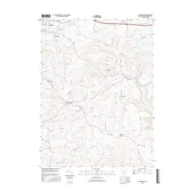
2016 Map of Luthersburg
USGS Topo · Published 2016About this map
Luthersburg and the surrounding high ground of Clearfield County are defined by a complex network of creeks and ridges. The landscape is marked by the headwaters of numerous streams, including Sandy Lick Cr and Anderson Creek, which drain the varied elevations of Laurel Ridge. Small settlements like Rockton, Anderson, and Chestnut Grove are linked by a dense web of local roads such as Coal Hill Rd and Old Dubois Rd, reflecting a long-established rural residency pattern. In the northeastern corner, the Du Bois Reservoir sits as a significant water feature, while the southern reaches show the intricate drainage of Stump Cr and the E Br Mahoning Cr. The naming of local landmarks like Coal Hill suggests the area's geological and industrial heritage, preserved here alongside genealogical sites like Dresstler Cem.
Find a feature on this map
65 named features on this map. Tap any name to fly to it.
Don’t see what you’re looking for? This feature index may not catch every label — zoom into the map to look around manually.
Map Details
Editions of this 2016 Luthersburg Map
This is the sole edition of this map. No revisions or reprints were ever made.
Other maps of this area

1903 · Curwensville
USGS Topo · 1:62,500

1906 · Punxsutawney
USGS Topo · 1:62,500

1922 · Du Bois
USGS Topo · 1:62,500

1924 · Du Bois
USGS Topo · 1:62,500

1929 · Penfield
USGS Topo · 1:62,500

1932 · Penfield
USGS Topo · 1:62,500

1939 · Curwensville
USGS Topo · 1:62,500

1939 · Punxsutawney
USGS Topo · 1:62,500

1942 · Curwensville
USGS Topo · 1:62,500

1942 · Punxsutawney
USGS Topo · 1:62,500