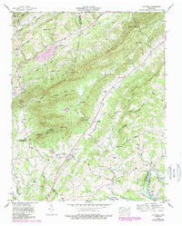
1952 Map of Luttrell
USGS Topo · Published 1988About this map
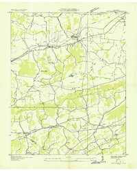
Clinch Mountain and Copper Ridge dominate this corner of Tennessee, carving out the narrow Poor Valley and the broader agricultural corridor of Richland Valley. In the mid-century landscape of 1952, the Southern railroad serves the settlement of Luttrell, while the Rutledge Pike connects the communities of Blaine and Lea Springs. The map reveals a deeply established rural social fabric, marked by numerous family-named burial grounds like Perrin Hollow Cem and Zachary Cem, alongside small centers of local life such as Rush Strong School and Wyrick Chapel. To the southeast, the Holston River remains a primary geographic boundary, with Nance Ferry still providing a critical crossing point near Snaggy Island before more modern infrastructure fully transformed regional travel. The inclusion of a Radio Facility (WIBK) near Zacharytown highlights the emerging communication infrastructure of the post-war era.
Find a feature on this map
70 named features on this map. Tap any name to fly to it.
Don’t see what you’re looking for? This feature index may not catch every label — zoom into the map to look around manually.
Map Details
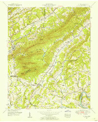
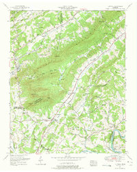
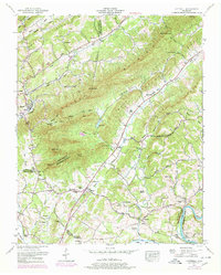
Editions of this 1952 Luttrell Map
4 editions found
Other maps of this area

1897 · Maynardville
USGS Topo · 1:125,000

1900 · Maynardville
USGS Topo · 1:125,000

1935 · Luttrell
USGS Topo · 1:24,000

1935 · Mascot
USGS Topo · 1:24,000

1935 · Straw Plains
USGS Topo · 1:48,000

1935 · Graveston
USGS Topo · 1:24,000

1935 · Joppa
USGS Topo · 1:24,000
1935 · New Market
USGS Topo · 1:24,000

1936 · Gorryton
USGS Topo · 1:48,000

1936 · Powder Springs
USGS Topo · 1:24,000