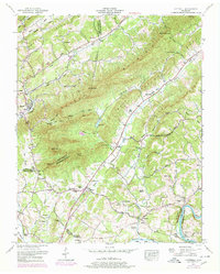
1952 Map of Luttrell
USGS Topo · Published 1978About this map
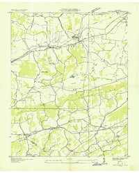
Clinch Mountain and Copper Ridge define the northeast-to-southwest grain of this East Tennessee landscape, creating the distinct valleys that shaped early settlement. In the northwestern corner, the Southern railway serves Luttrell, while the southern reaches are bound by the Holston River. This 1952 field revision reveals a deeply rooted rural infrastructure of family-named landmarks and community centers, from the Rush Strong School in Blaine to the numerous small burial grounds like McKinney Cemetery and Vineyard Cemetery that dot the hillsides. The importance of river crossings is evident at the southern boundary, where Nance Ferry and Mitchell Ford provided essential links across the water. Between the ridges, smaller hamlets like Lea Springs and Zacharytown are connected by a network of roads such as Ferry Road, illustrating the post-war transition of these farming communities.
Find a feature on this map
77 named features on this map. Tap any name to fly to it.
Don’t see what you’re looking for? This feature index may not catch every label — zoom into the map to look around manually.
Map Details
Editions of this 1952 Luttrell Map
4 editions found
Other maps of this area

1897 · Maynardville
USGS Topo · 1:125,000

1900 · Maynardville
USGS Topo · 1:125,000

1935 · Luttrell
USGS Topo · 1:24,000

1935 · Mascot
USGS Topo · 1:24,000

1935 · Straw Plains
USGS Topo · 1:48,000

1935 · Graveston
USGS Topo · 1:24,000

1935 · Joppa
USGS Topo · 1:24,000
1935 · New Market
USGS Topo · 1:24,000

1936 · Gorryton
USGS Topo · 1:48,000

1936 · Powder Springs
USGS Topo · 1:24,000