Loading...
Loading map...2024 Map of Lutz
USGS Topo · Published 2024About this map
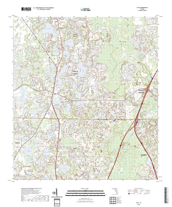
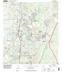
Lutz sits at the heart of this landscape where the boundaries of Pasco and Hillsborough counties meet. The area is defined by a dense mosaic of freshwater bodies, including Bell Lake, Myrtle Lake, and the sprawling Big Lake Vienna. These lakes dictate the suburban layout, with residential pockets like Land O' Lakes and Cheval winding around the shorelines. On the eastern edge, Wesley Chapel serves as a major hub near the transition into the Big Cypress Swamp.
Find a feature on this map
88 named features on this map. Tap any name to fly to it.
Don’t see what you’re looking for? This feature index may not catch every label — zoom into the map to look around manually.
Map Details
Date Portrayed2024
Date Published2024
PublisherU.S. Geological Survey
Map TypeTopographic
Scale1:24000
Physical Dimensions24 x 29 inches
Editions of this 2024 Lutz Map
This is the sole edition of this map. No revisions or reprints were ever made.
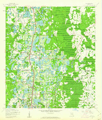
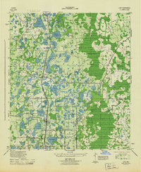
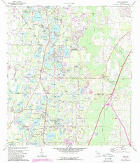
Historical Maps of Tampa Through Time
5 maps found
Featured Locations
Source Details
SourceU.S. Geological Survey
CopyrightPublic Domain