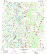
1974 Map of Lutz
USGS Topo · Published 1988About this map
The settlement of Lutz and the southern edge of Land O' Lakes dominate this landscape during the mid-1970s, as urban expansion begins to press into the lake-strewn terrain of the Florida peninsula. The boundary between Pasco and Hillsborough counties bisects the region, where a dense network of water bodies like Big Lake Vienna and Lake Thomas shaped early development. Local infrastructure is anchored by the CSX railroad corridor and key community sites including the Sanders Memorial Sch and Time Memorial Ch.
Find a feature on this map
95 named features on this map. Tap any name to fly to it.
Don’t see what you’re looking for? This feature index may not catch every label — zoom into the map to look around manually.
Map Details
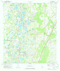
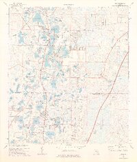
Editions of this 1974 Lutz Map
3 editions found
Other maps of this area

1943 · Odessa
USGS Topo · 1:24,000

1943 · Thonotosassa
USGS Topo · 1:24,000

1943 · Lutz
USGS Topo · 1:24,000

1944 · Sulphur Springs
USGS Topo · 1:31,680

1944 · Wesley Chapel
USGS Topo · 1:31,680

1944 · Lutz
USGS Topo · 1:31,680

1944 · Odessa
USGS Topo · 1:31,680

1944 · Thonotosassa
USGS Topo · 1:31,680

1945 · Sulphur Springs
USGS Topo · 1:31,680
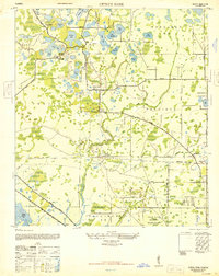
1947 · Citrus Park
USGS Topo · 1:24,000