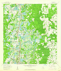
1999 Map of Lutz
USGS Topo · Published 2001About this map
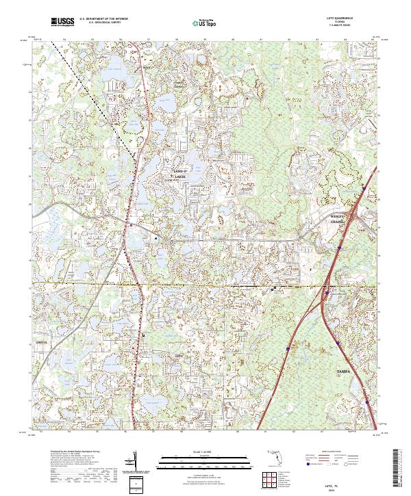
Dupree Gardens and the residential clusters of Land O' Lakes define this corridor along the border of Pasco and Hillsborough counties at the turn of the millennium. The landscape is a dense network of water bodies, from Big Lake Vienna to the sprawling Padgett Lake, interspersed with established community landmarks like Sanders Memorial Sch and Timi Memorial Ch. The transition from rural homesteads to suburban development is evident in the street patterns surrounding Lutz, where local roads like Lake Fern Road and Van Dyke Rd connect the numerous small lakes.
Find a feature on this map
99 named features on this map. Tap any name to fly to it.
Don’t see what you’re looking for? This feature index may not catch every label — zoom into the map to look around manually.
Map Details
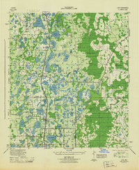
Editions of this 1999 Lutz Map
This is the sole edition of this map. No revisions or reprints were ever made.
Historical Maps of Tampa Through Time
9 maps found