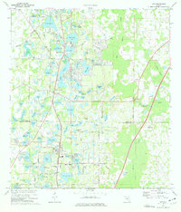
1974 Map of Lutz
USGS Topo · Published 1976About this map
The boundary between Pasco and Hillsborough counties defines this landscape of suburban expansion and numerous freshwater bodies in the mid-1970s. The settlement of Land O' Lakes serves as a primary residential hub, characterized by a dense network of lakes such as Padgett Lake, Saxon Lake, and Bell Lake. To the south, the community of Lutz is situated along the Seaboard Coast Line railroad, which acts as a central artery for the region. Historical markers of the era include Dupree Gardens and institutional landmarks like Sanders Memorial School and Tims Memorial Church. The map reveals a transition from natural wetlands like Buck Hammock and the Big Cypress Swamp to growing developments, with evidence of recreational activity at Camp Indian Head and several campgrounds.
Find a feature on this map
105 named features on this map. Tap any name to fly to it.
Don’t see what you’re looking for? This feature index may not catch every label — zoom into the map to look around manually.
Map Details
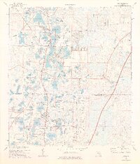
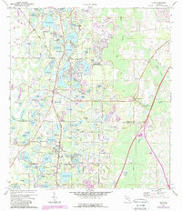
Editions of this 1974 Lutz Map
3 editions found
Other maps of this area

1943 · Odessa
USGS Topo · 1:24,000

1943 · Thonotosassa
USGS Topo · 1:24,000

1943 · Lutz
USGS Topo · 1:24,000

1944 · Sulphur Springs
USGS Topo · 1:31,680

1944 · Wesley Chapel
USGS Topo · 1:31,680

1944 · Lutz
USGS Topo · 1:31,680

1944 · Odessa
USGS Topo · 1:31,680

1944 · Thonotosassa
USGS Topo · 1:31,680

1945 · Sulphur Springs
USGS Topo · 1:31,680
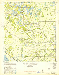
1947 · Citrus Park
USGS Topo · 1:24,000