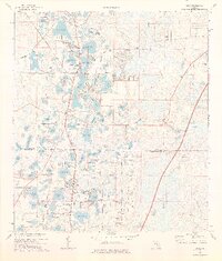
1974 Map of Lutz
USGS Topo · Published 1976About this map
Lutz and Land O' Lakes appear in the mid-1970s as burgeoning communities defined by a dense mosaic of lakes and local transit corridors. The Seaboard Coast Line railroad runs north-south, threading between dozens of water bodies like Lake Thomas, Padgett Lake, and East Lake. This period captures the region's transition into a residential and recreational hub, evidenced by the presence of Camp Indian Head, an Athletic Field, and a Campground.
Find a feature on this map
105 named features on this map. Tap any name to fly to it.
Don’t see what you’re looking for? This feature index may not catch every label — zoom into the map to look around manually.
Map Details
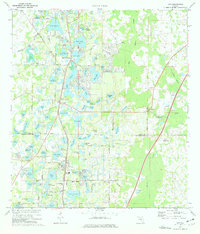
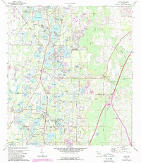
Editions of this 1974 Lutz Map
3 editions found
Other maps of this area

1943 · Odessa
USGS Topo · 1:24,000

1943 · Thonotosassa
USGS Topo · 1:24,000

1943 · Lutz
USGS Topo · 1:24,000

1944 · Sulphur Springs
USGS Topo · 1:31,680

1944 · Wesley Chapel
USGS Topo · 1:31,680

1944 · Lutz
USGS Topo · 1:31,680

1944 · Odessa
USGS Topo · 1:31,680

1944 · Thonotosassa
USGS Topo · 1:31,680

1945 · Sulphur Springs
USGS Topo · 1:31,680
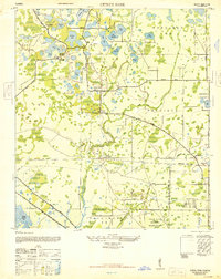
1947 · Citrus Park
USGS Topo · 1:24,000