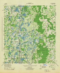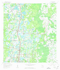
1943 Map of Lutz
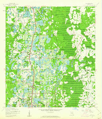
USGS Topo · Published 1961About this map
Lutz and the surrounding lake country of northern Hillsborough Co and southern Pasco Co are defined by an intricate network of cypress strands and numerous freshwater basins. The 1943 landscape is marked by the early development of Land O' Lakes and the established presence of Dupree Gardens near the map's northern boundary. This era shows the critical role of rail transport in the Florida interior, with the Atlantic Coast Line and Seaboard Air Line corridors running north-south through the center of the sheet. Settled pockets like Denham, Drexel, and Worthington Gardens appear as small communities amidst the Big Cypress Swamp. Notable local landmarks include Drexel Ch and the waters of Lake Padgett, Lake Thomas, and Lake Kell, which would eventually form the core of the region's mid-century residential expansion.
Find a feature on this map
54 named features on this map. Tap any name to fly to it.
Don’t see what you’re looking for? This feature index may not catch every label — zoom into the map to look around manually.
Map Details
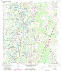
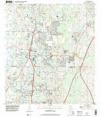
Editions of this 1943 Lutz Map
2 editions found
Historical Maps of Tampa Through Time
9 maps found