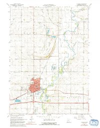
1967 Map of Luverne
USGS Topo · Published 1992About this map
The Rock River valley defines the geography of Rock County in this mid-century look at the area surrounding Luverne, Minnesota. The landscape is marked by the distinctive elevation of Blue Mound, where Blue Mound State Park preserves the local prairie and granite outcrops. The town itself is a well-established hub, anchored by institutional landmarks like the Armory, City Hall, and the County Fairground.
Find a feature on this map
45 named features on this map. Tap any name to fly to it.
Don’t see what you’re looking for? This feature index may not catch every label — zoom into the map to look around manually.
Map Details
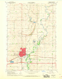
Editions of this 1967 Luverne Map
2 editions found
Other maps of this area

1955 · Sioux Falls
USGS Topo · 1:250,000

1958 · Sioux Falls
USGS Topo · 1:250,000

1967 · Edgerton South
USGS Topo · 1:24,000

1967 · Magnolia
USGS Topo · 1:24,000

1967 · Hills
USGS Topo · 1:24,000

1967 · Kenneth
USGS Topo · 1:24,000

1967 · Jasper SE
USGS Topo · 1:24,000

1967 · Hills NE
USGS Topo · 1:24,000

1967 · Ellsworth
USGS Topo · 1:24,000

1967 · Ash Creek
USGS Topo · 1:24,000