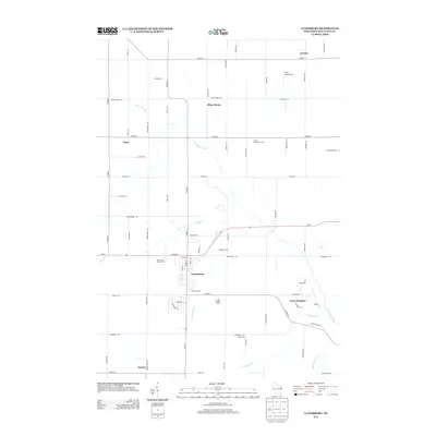
2013 Map of Luxemburg
USGS Topo · Published 2013About this map
Luxemburg serves as the central hub of this agricultural landscape in Kewaunee County, where the village grid meets a network of rural farmsteads and orchards. The dairy heritage of the region is well-documented, with family-named operations such as Blue View Dairy Farms, Hallet Dairy Farm, and Miesler Farms defining the local economy. Beyond the main village, several smaller crossroads and named locales like Tonet, Neuern, and Thiry Daems reflect the historical settlement patterns of the area, many of which are situated near the winding paths of the Kewaunee River and Scarboro Creek.
Find a feature on this map
72 named features on this map. Tap any name to fly to it.
Don’t see what you’re looking for? This feature index may not catch every label — zoom into the map to look around manually.
Map Details
Editions of this 2013 Luxemburg Map
This is the sole edition of this map. No revisions or reprints were ever made.
Other maps of this area

1952 · Casco
USGS Topo · 1:62,500

1954 · Kewaunee
USGS Topo · 1:62,500

1954 · Denmark
USGS Topo · 1:62,500

1954 · New Franken
USGS Topo · 1:62,500

1954 · Manitowoc
USGS Topo · 1:250,000

1958 · Manitowoc
USGS Topo · 1:250,000

1978 · Casco
USGS Topo · 1:24,000

1978 · Namur
USGS Topo · 1:24,000

1978 · Poland
USGS Topo · 1:24,000

1978 · Stangelville
USGS Topo · 1:24,000