
1978 Map of Casco
USGS Topo · Published 1979About this map
The Ahnapee and Western railroad corridor shapes this Kewaunee County landscape, linking several small farming communities and crossroads in the late 1970s. The village of Casco serves as a central hub, situated near the Casco Millpond and the Kewaunee River headwaters. The topography is defined by the gentle drainage of Rio Creek and Mashek Creek, which cut through a mosaic of woodlots and cultivated fields.
Find a feature on this map
42 named features on this map. Tap any name to fly to it.
Don’t see what you’re looking for? This feature index may not catch every label — zoom into the map to look around manually.
Map Details
Editions of this 1978 Casco Map
This is the sole edition of this map. No revisions or reprints were ever made.
Other maps of this area

1952 · Casco
USGS Topo · 1:62,500

1954 · Kewaunee
USGS Topo · 1:62,500

1954 · Manitowoc
USGS Topo · 1:250,000

1958 · Manitowoc
USGS Topo · 1:250,000

1960 · Algoma
USGS Topo · 1:62,500

1978 · Namur
USGS Topo · 1:24,000

1978 · Stangelville
USGS Topo · 1:24,000
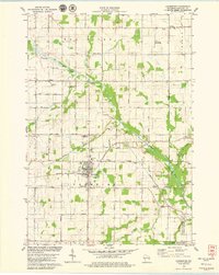
1978 · Luxemburg
USGS Topo · 1:24,000

1978 · Brussels
USGS Topo · 1:24,000
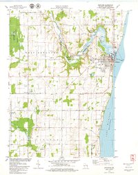
1978 · Kewaunee
USGS Topo · 1:24,000