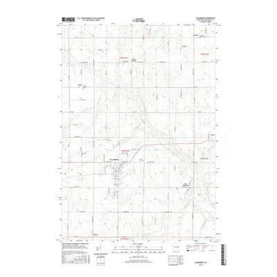
2015 Map of Luxemburg
USGS Topo · Published 2015About this map
Luxemburg serves as the central hub for this portion of Kewaunee County, where a dense network of country roads connects scattered crossroads and rural parishes. The landscape is defined by the winding course of the Kewaunee River and its tributaries, including School Cr and Luxemburg Cr. These waterways historically influenced the placement of early settlements like Thiry Daems and Tonet. For genealogists and local historians, the map is remarkably dense with religious landmarks and burial grounds, such as Saint Marys Cem and Saint Peters Catholic Cem. The presence of the Funk Aerodrome near Lincoln and the rail intersection at Casco Junction illustrates how transportation modes have evolved, from the early river-and-rail economy to modern aviation and highway connectivity via Co Rd A and other regional routes.
Find a feature on this map
96 named features on this map. Tap any name to fly to it.
Don’t see what you’re looking for? This feature index may not catch every label — zoom into the map to look around manually.
Map Details
Editions of this 2015 Luxemburg Map
This is the sole edition of this map. No revisions or reprints were ever made.
Other maps of this area

1952 · Casco
USGS Topo · 1:62,500

1954 · Kewaunee
USGS Topo · 1:62,500

1954 · Denmark
USGS Topo · 1:62,500

1954 · New Franken
USGS Topo · 1:62,500

1954 · Manitowoc
USGS Topo · 1:250,000

1958 · Manitowoc
USGS Topo · 1:250,000

1978 · Casco
USGS Topo · 1:24,000

1978 · Namur
USGS Topo · 1:24,000

1978 · Poland
USGS Topo · 1:24,000

1978 · Stangelville
USGS Topo · 1:24,000