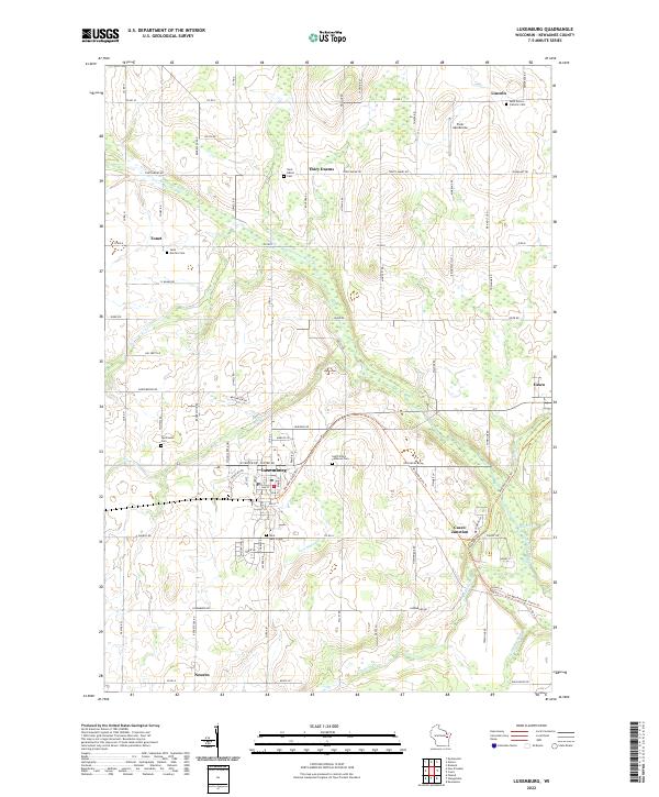
2022 Map of Luxemburg
USGS Topo · Published 2022About this map
Luxemburg serves as the primary hub in this Kewaunee County landscape, where the town layout is defined by streets like Oak St and Elm St. The surrounding countryside is dotted with a high density of religious and commemorative sites, including Saint Mary's Cem, Saint John's Lutheran Cem, and the Spiritualist Cem. This cluster of cemeteries, alongside others such as Saint Martins Cem near Tonet, points to the deep-rooted parish history of the area's early European settlements.
Find a feature on this map
59 named features on this map. Tap any name to fly to it.
Don’t see what you’re looking for? This feature index may not catch every label — zoom into the map to look around manually.
Map Details
Editions of this 2022 Luxemburg Map
This is the sole edition of this map. No revisions or reprints were ever made.
Other maps of this area

1952 · Casco
USGS Topo · 1:62,500

1954 · Kewaunee
USGS Topo · 1:62,500

1954 · Denmark
USGS Topo · 1:62,500

1954 · New Franken
USGS Topo · 1:62,500

1954 · Manitowoc
USGS Topo · 1:250,000

1958 · Manitowoc
USGS Topo · 1:250,000

1978 · Casco
USGS Topo · 1:24,000

1978 · Namur
USGS Topo · 1:24,000

1978 · Poland
USGS Topo · 1:24,000

1978 · Stangelville
USGS Topo · 1:24,000