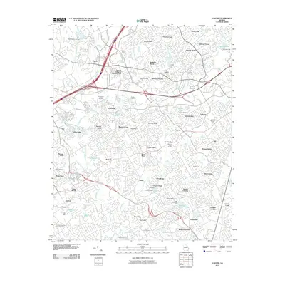
2011 Map of Luxomni
USGS Topo · Published 2011About this map
The Yellow River winds through this densely developed portion of Gwinnett County, illustrating the extensive suburban expansion of the early 21st century. The map centers on established communities like Gloster, Bethesda, and Luxomni, while highlighting contemporary commercial landmarks such as Discover Mills. The landscape is a complex network of residential subdivisions including Friendly Village of Crooked Creek, La Mancha, and Yorktown, all interconnected by major transit corridors like Satellite Blvd and Ronald Reagan Pkwy.
Find a feature on this map
121 named features on this map. Tap any name to fly to it.
Don’t see what you’re looking for? This feature index may not catch every label — zoom into the map to look around manually.
Map Details
Editions of this 2011 Luxomni Map
This is the sole edition of this map. No revisions or reprints were ever made.
Other maps of this area

1888 · Atlanta
USGS Topo · 1:125,000

1890 · Suwanee
USGS Topo · 1:125,000

1890 · Atlanta
USGS Topo · 1:125,000

1891 · Gainesville
USGS Topo · 1:125,000

1892 · Atlanta
USGS Topo · 1:125,000

1894 · Suwanee
USGS Topo · 1:125,000

1895 · Atlanta
USGS Topo · 1:125,000

1896 · Monroe
USGS Topo · 1:125,000

1953 · Atlanta
USGS Topo · 1:250,000

1953 · Athens
USGS Topo · 1:250,000