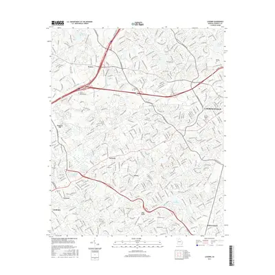
2017 Map of Luxomni
USGS Topo · Published 2017About this map
The Yellow River flows through this suburbanizing corridor of Gwinnett County, anchoring a landscape defined by its rapid transition from historical hamlets to modern educational and commercial hubs. The map detail highlights the growth of Lawrenceville and Snellville as they expand toward crossroads like Five Forks and Gloster. For those researching local roots, the locations of Garner Cem and Ford Cem provide specific points of interest amidst the residential developments. Educational institutions have become central landmarks here, with Gwinnett Technical Coll and Georgia Gwinnett Coll occupying significant acreage. The intricate network of waterways, including Sweetwater Cr, Beaver Ruin Cr, and numerous small reservoirs like Johnson Lake and Hughes Lake, continues to shape the topography and drainage patterns of this bustling Georgia Piedmont region.
Find a feature on this map
45 named features on this map. Tap any name to fly to it.
Don’t see what you’re looking for? This feature index may not catch every label — zoom into the map to look around manually.
Map Details
Editions of this 2017 Luxomni Map
This is the sole edition of this map. No revisions or reprints were ever made.
Other maps of this area

1888 · Atlanta
USGS Topo · 1:125,000

1890 · Suwanee
USGS Topo · 1:125,000

1890 · Atlanta
USGS Topo · 1:125,000

1891 · Gainesville
USGS Topo · 1:125,000

1892 · Atlanta
USGS Topo · 1:125,000

1894 · Suwanee
USGS Topo · 1:125,000

1895 · Atlanta
USGS Topo · 1:125,000

1896 · Monroe
USGS Topo · 1:125,000

1953 · Atlanta
USGS Topo · 1:250,000

1953 · Athens
USGS Topo · 1:250,000