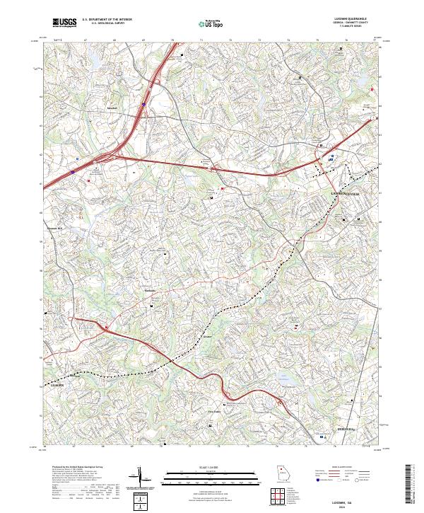
2024 Map of Luxomni
USGS Topo · Published 2024About this map
The Yellow River and Sweetwater Creek form the primary drainage systems for this central portion of Gwinnett County, where suburban development intermingles with several historic small communities. The map details the transition from older settlements like Luxomni and Gloster toward the growing regional hubs of Lawrenceville and Lilburn. Transportation corridors, including I-85, Ga 316, and the Ronald Reagan Parkway, serve as the modern backbone for a landscape once defined by family farms and rural congregations. For local historians and genealogists, the map provides precise locations for numerous burial sites and houses of worship, such as the Bethesda Memorial Cemetery, the Oakland Community Cemetery, and the Reformation Presbyterian Church. Educational institutions like Gwinnett Technical College and Georgia Gwinnett College further anchor the northern and western sections of the quadrangle.
Find a feature on this map
59 named features on this map. Tap any name to fly to it.
Don’t see what you’re looking for? This feature index may not catch every label — zoom into the map to look around manually.
Map Details
Editions of this 2024 Luxomni Map
This is the sole edition of this map. No revisions or reprints were ever made.
Other maps of this area

1888 · Atlanta
USGS Topo · 1:125,000

1890 · Suwanee
USGS Topo · 1:125,000

1890 · Atlanta
USGS Topo · 1:125,000

1891 · Gainesville
USGS Topo · 1:125,000

1892 · Atlanta
USGS Topo · 1:125,000

1894 · Suwanee
USGS Topo · 1:125,000

1895 · Atlanta
USGS Topo · 1:125,000

1896 · Monroe
USGS Topo · 1:125,000

1953 · Atlanta
USGS Topo · 1:250,000

1953 · Athens
USGS Topo · 1:250,000