
1963 Map of Luzerne
USGS Topo · Published 1964About this map
Luzerne serves as the primary settlement on this Oscoda County landscape, centered near the northern edge of the sheet. The village is defined by its proximity to Luzerne Pond and the East Branch Big Creek, reflecting a community deeply tied to the surrounding woodlands and waterways. To the north, a YMCA Camp and a local Cem provide specific points of interest for genealogists and local historians researching the mid-century social fabric of the area.
Find a feature on this map
19 named features on this map. Tap any name to fly to it.
Don’t see what you’re looking for? This feature index may not catch every label — zoom into the map to look around manually.
Map Details
Editions of this 1963 Luzerne Map
This is the sole edition of this map. No revisions or reprints were ever made.
Other maps of this area

1954 · Traverse City
USGS Topo · 1:250,000

1958 · Traverse City
USGS Topo · 1:250,000

1963 · Eldorado
USGS Topo · 1:24,000
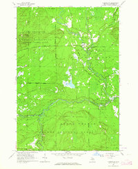
1963 · Luzerne NW
USGS Topo · 1:24,000

1963 · Red Oak
USGS Topo · 1:24,000

1965 · Damon
USGS Topo · 1:24,000

1965 · St. Helen NW
USGS Topo · 1:24,000

1965 · St. Helen NE
USGS Topo · 1:24,000

1972 · Mio
USGS Topo · 1:24,000
1972 · Island Lake
USGS Topo · 1:24,000