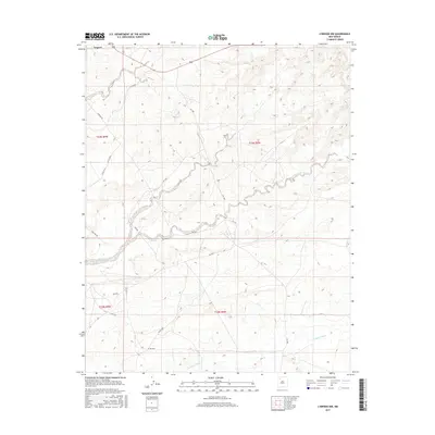
2017 Map of Lybrook NW
USGS Topo · Published 2017About this map
Nageezi sits at the northwestern edge of this high-desert landscape in New Mexico, where the topography is defined by the complex drainage systems of the San Juan Basin. The territory is deeply etched by ephemeral watercourses, most notably the wide, meandering paths of Kimbeto Wash, Betonnie Tsosie Wash, and Escavada Wash. These washes dictate the local movement and settlement patterns, with roads often following the contours of the high ground between them. The map reveals an infrastructure largely dedicated to resource extraction and transit, evidenced by the prevalence of utility corridors like Pipeline Rd and Pipe Line Rd. A network of rural routes, such as Co Rd 7890 and Co Rd 7970, connects the scattered outposts and high-elevation plateaus, illustrating the remote and rugged nature of the Eastern Navajo Agency during this era of digital cartography.
Find a feature on this map
21 named features on this map. Tap any name to fly to it.
Don’t see what you’re looking for? This feature index may not catch every label — zoom into the map to look around manually.
Map Details
Editions of this 2017 Lybrook NW Map
This is the sole edition of this map. No revisions or reprints were ever made.
Other maps of this area

1889 · Largo
USGS Topo · 1:250,000

1895 · Largo
USGS Topo · 1:250,000

1954 · Aztec
USGS Topo · 1:250,000

1958 · Aztec
USGS Topo · 1:250,000

1959 · Nageezi
USGS Topo · 1:62,500

1962 · Aztec
USGS Topo · 1:250,000

1965 · Aztec
USGS Topo · 1:250,000

1966 · Lybrook NW
USGS Topo · 1:24,000
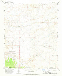
1966 · Sargent Ranch
USGS Topo · 1:24,000
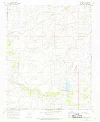
1966 · Lybrook SE
USGS Topo · 1:24,000