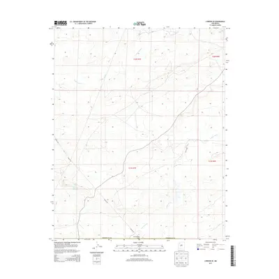
2013 Map of Lybrook SE
USGS Topo · Published 2013About this map
Cottonwood Flats anchors the southern portion of this high-desert landscape in Sandoval County, where the drainage patterns of the Cañada Alemita and Cañada Alamos define the terrain. This 2013 survey of the Eastern Navajo Agency reveals a territory marked by industrial infrastructure and vital water sources. Utility routes like Pipeline Rd and Co Road 7900 cut across the township lines of the Public Land Survey System, illustrating the modern management of this arid environment. Natural water features, including Ojo Sandoval Spring and the named area of Ojo Socorro, provide critical geographical reference points in a region otherwise characterized by its broad mesas and intermittent stream beds. The map documents the precise intersection of topography and development within the Navajo Nation's eastern reaches.
Find a feature on this map
12 named features on this map. Tap any name to fly to it.
Don’t see what you’re looking for? This feature index may not catch every label — zoom into the map to look around manually.
Map Details
Editions of this 2013 Lybrook SE Map
This is the sole edition of this map. No revisions or reprints were ever made.
Other maps of this area

1883 · Mt. Taylor
USGS Topo · 1:250,000

1886 · Mt. Taylor
USGS Topo · 1:250,000

1889 · Largo
USGS Topo · 1:250,000

1892 · Mt. Taylor
USGS Topo · 1:250,000

1895 · Largo
USGS Topo · 1:250,000

1899 · Mt. Taylor
USGS Topo · 1:250,000

1954 · Aztec
USGS Topo · 1:250,000

1958 · Aztec
USGS Topo · 1:250,000

1958 · Albuquerque
USGS Topo · 1:250,000

1960 · Pueblo Alto Trading Post
USGS Topo · 1:24,000