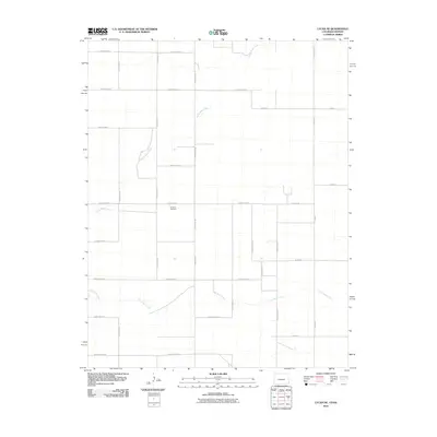
2010 Map of Lycan NE
USGS Topo · Published 2010About this map
Amerine Cemetery sits at the center of this agricultural landscape in Stanton County, marking a quiet point of reference amidst a sprawling grid of rural transport. The map reveals the slow descent of the High Plains, where the ephemeral paths of North Bear Creek and Little Bear Creek carve subtle, winding depressions into the terrain. These seasonal watercourses provide a sharp contrast to the rigid geometry of the county road system, which organizes the land into expansive sections. The intersection of local routes like Wright Rd and County Road D suggests a highly structured pattern of land use and property boundaries typical of the region's ranching and farming heritage. This detailed survey preserves the precise alignment of the rural network, including remote paths such as County Road WW and County Road XX near the southern border.
Find a feature on this map
27 named features on this map. Tap any name to fly to it.
Don’t see what you’re looking for? This feature index may not catch every label — zoom into the map to look around manually.
Map Details
Editions of this 2010 Lycan NE Map
This is the sole edition of this map. No revisions or reprints were ever made.
Other maps of this area

1891 · Albany
USGS Topo · 1:125,000

1893 · Albany
USGS Topo · 1:125,000

1900 · Syracuse
USGS Topo · 1:125,000

1920 · Syracuse
USGS Topo · 1:125,000

1955 · La Junta
USGS Topo · 1:250,000

1955 · Dodge City
USGS Topo · 1:250,000

1958 · La Junta
USGS Topo · 1:250,000

1958 · Dodge City
USGS Topo · 1:250,000

1959 · Dodge City
USGS Topo · 1:250,000

1966 · Syracuse West SW
USGS Topo · 1:24,000