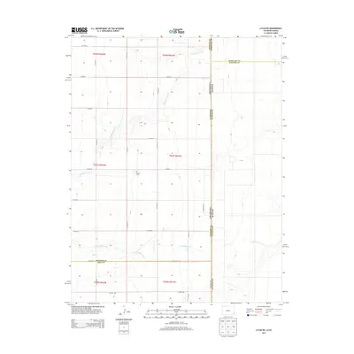
2013 Map of Lycan NE
USGS Topo · Published 2013About this map
Amerine Cem sits as a solitary landmark in the high plains along the western edge of Stanton County, Kansas, where it meets the Colorado state line. The landscape is defined by the ephemeral drainages of North Bear Creek and Little Bear Creek, which carve subtle paths through the flat terrain. This 2013 survey illustrates the rigid, square-mile township and range system that dictates the road network, including routes like Co Road XX and Co Road 38. The map documents a complex intersection of political boundaries, capturing the point where the Kansas-Colorado border meets the four-way junction of Prowers, Hamilton, Baca, and Stanton counties. It is a portrait of a modern agricultural landscape that remains strictly tied to its nineteenth-century surveying roots.
Find a feature on this map
31 named features on this map. Tap any name to fly to it.
Don’t see what you’re looking for? This feature index may not catch every label — zoom into the map to look around manually.
Map Details
Editions of this 2013 Lycan NE Map
This is the sole edition of this map. No revisions or reprints were ever made.
Other maps of this area

1891 · Albany
USGS Topo · 1:125,000

1893 · Albany
USGS Topo · 1:125,000

1900 · Syracuse
USGS Topo · 1:125,000

1920 · Syracuse
USGS Topo · 1:125,000

1955 · La Junta
USGS Topo · 1:250,000

1955 · Dodge City
USGS Topo · 1:250,000

1958 · La Junta
USGS Topo · 1:250,000

1958 · Dodge City
USGS Topo · 1:250,000

1959 · Dodge City
USGS Topo · 1:250,000

1966 · Syracuse West SW
USGS Topo · 1:24,000