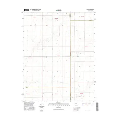
2016 Map of Lycan NE
USGS Topo · Published 2016About this map
Amerine Cem sits near the junction of Co Rd D and Co RD 38, serving as a primary point of historical interest in this high plains landscape. The terrain is defined by the ephemeral drainage patterns of N Bear Cr in the north and Little Bear Cr further south, carving subtle relief into the agricultural grid. This 2016 survey illustrates the precise jurisdictional boundaries where Colorado and Kansas meet, specifically highlighting the intersection of Stanton and Hamilton counties in Kansas with Prowers and Baca counties in Colorado. The surveyor's grid is remarkably consistent here, with local thoroughfares like Wright Rd and Co Rd G following section lines across the state line, reflecting the organized settlement patterns of the American West.
Find a feature on this map
28 named features on this map. Tap any name to fly to it.
Don’t see what you’re looking for? This feature index may not catch every label — zoom into the map to look around manually.
Map Details
Editions of this 2016 Lycan NE Map
This is the sole edition of this map. No revisions or reprints were ever made.
Other maps of this area

1891 · Albany
USGS Topo · 1:125,000

1893 · Albany
USGS Topo · 1:125,000

1900 · Syracuse
USGS Topo · 1:125,000

1920 · Syracuse
USGS Topo · 1:125,000

1955 · La Junta
USGS Topo · 1:250,000

1955 · Dodge City
USGS Topo · 1:250,000

1958 · La Junta
USGS Topo · 1:250,000

1958 · Dodge City
USGS Topo · 1:250,000

1959 · Dodge City
USGS Topo · 1:250,000

1966 · Syracuse West SW
USGS Topo · 1:24,000