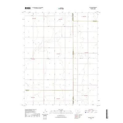
2019 Map of Lycan NE
USGS Topo · Published 2019About this map
Amerine Cem sits at the heart of this high plains borderland, marking a point of quiet historical permanence in a landscape defined by geometric section lines and seasonal waterways. Located at the intersection of Stanton and Hamilton counties in Kansas and Prowers and Baca counties in Colorado, the area is bisected by the intermittent drainage of N Bear Cr and Little Bear Cr. The terrain is strictly organized by a network of rural routes such as Co Rd 37 and Wright Rd, reflecting the rigid Public Land Survey System that governs this agricultural expanse. This survey reveals the sparse but deliberate infrastructure of the Western plains, where isolated landmarks and section-line roads like Co Rd D provide the primary orientation for those navigating the wide stretches between the Kansas-Colorado state line.
Find a feature on this map
35 named features on this map. Tap any name to fly to it.
Don’t see what you’re looking for? This feature index may not catch every label — zoom into the map to look around manually.
Map Details
Editions of this 2019 Lycan NE Map
This is the sole edition of this map. No revisions or reprints were ever made.
Other maps of this area

1891 · Albany
USGS Topo · 1:125,000

1893 · Albany
USGS Topo · 1:125,000

1900 · Syracuse
USGS Topo · 1:125,000

1920 · Syracuse
USGS Topo · 1:125,000

1955 · La Junta
USGS Topo · 1:250,000

1955 · Dodge City
USGS Topo · 1:250,000

1958 · La Junta
USGS Topo · 1:250,000

1958 · Dodge City
USGS Topo · 1:250,000

1959 · Dodge City
USGS Topo · 1:250,000

1966 · Syracuse West SW
USGS Topo · 1:24,000