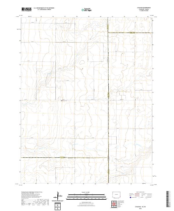
2022 Map of Lycan NE
USGS Topo · Published 2022About this map
The High Plains landscape at the Colorado-Kansas border is defined by a grid of rural roads and seasonal watercourses. N Bear Cr and Little Bear Cr meander through the prairie, providing the primary relief in the terrain. This 2022 survey captures the border region between Prowers County, Colorado, and Hamilton and Stanton Counties in Kansas. Near the center of the sheet, the Amerine Cem stands as a focal point for local family history, situated just off Co Rd D. The infrastructure is primarily composed of established county roads like Co Rd H and Wright Rd, which facilitate movement across the sprawling agricultural parcels and township sections. The map serves as a contemporary record of land use and boundary lines at the intersection of three counties.
Find a feature on this map
29 named features on this map. Tap any name to fly to it.
Don’t see what you’re looking for? This feature index may not catch every label — zoom into the map to look around manually.
Map Details
Editions of this 2022 Lycan NE Map
This is the sole edition of this map. No revisions or reprints were ever made.
Other maps of this area

1891 · Albany
USGS Topo · 1:125,000

1893 · Albany
USGS Topo · 1:125,000

1900 · Syracuse
USGS Topo · 1:125,000

1920 · Syracuse
USGS Topo · 1:125,000

1955 · La Junta
USGS Topo · 1:250,000

1955 · Dodge City
USGS Topo · 1:250,000

1958 · La Junta
USGS Topo · 1:250,000

1958 · Dodge City
USGS Topo · 1:250,000

1959 · Dodge City
USGS Topo · 1:250,000

1966 · Syracuse West SW
USGS Topo · 1:24,000