
1970 Map of Lydia
USGS Topo · Published 1972About this map
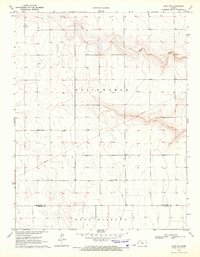
White Woman Creek carves a deep, winding path through this portion of the High Plains, defining the topography south of the Wichita Co Kearny Co line. The 1970 landscape is sparsely settled, anchored by the community of Lydia, where the Grand Union Sch and a local Cem serve the surrounding rural population. The presence of the Kuhlmann Landing Field suggests the continued importance of general aviation for agricultural management and travel in this expansive region.
Find a feature on this map
11 named features on this map. Tap any name to fly to it.
Don’t see what you’re looking for? This feature index may not catch every label — zoom into the map to look around manually.
Map Details
Editions of this 1970 Lydia Map
This is the sole edition of this map. No revisions or reprints were ever made.
Other maps of this area

1941 · Modoc
USGS Topo · 1:62,500

1951 · Modoc
USGS Topo · 1:62,500

1955 · Scott City
USGS Topo · 1:250,000

1958 · Scott City
USGS Topo · 1:250,000

1965 · Leoti 3 NW
USGS Topo · 1:24,000

1965 · Leoti 3 NE
USGS Topo · 1:24,000

1965 · Wolf NW
USGS Topo · 1:24,000

1970 · Leoti
USGS Topo · 1:24,000

1970 · Leoti NW
USGS Topo · 1:24,000
1970 · Leoti SW
USGS Topo · 1:24,000