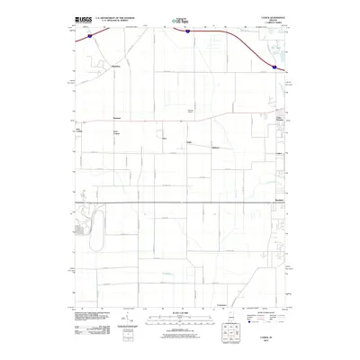
2010 Map of Lydick
USGS Topo · Published 2010About this map
The historic prairie and marshlands of St. Joseph County are visible in this 2010 survey, where old travel routes like the Chicago Trl and Hamilton Trl intersect with modern infrastructure. The landscape is dotted with small, historically significant settlements including Olive, Lydick, and Terre Coupee, reflecting the region's agricultural roots and the gradual expansion from nearby population centers. To the east, the Chain-O-Lakes area and Twin Lakes suggest the glacial origins of the local topography.
Find a feature on this map
53 named features on this map. Tap any name to fly to it.
Don’t see what you’re looking for? This feature index may not catch every label — zoom into the map to look around manually.
Map Details
Editions of this 2010 Lydick Map
This is the sole edition of this map. No revisions or reprints were ever made.
Other maps of this area

1927 · Niles
USGS Topo · 1:62,500

1930 · Three Oaks
USGS Topo · 1:62,500

1930 · Niles
USGS Topo · 1:62,500

1943 · Niles
USGS Topo · 1:62,500

1944 · Three Oaks
USGS Topo · 1:62,500

1953 · Chicago
USGS Topo · 1:250,000

1957 · Chicago
USGS Topo · 1:250,000

1958 · South Bend West
USGS Topo · 1:24,000

1958 · Lydick
USGS Topo · 1:24,000

1958 · Stillwell
USGS Topo · 1:24,000