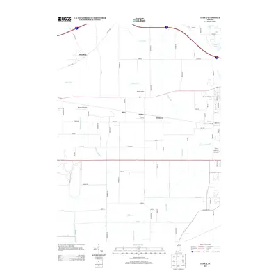
2013 Map of Lydick
USGS Topo · Published 2013About this map
Lydick and Olive anchor this rural landscape in Saint Joseph County, where the topography is defined by an intricate network of man-made waterways. The drainage patterns of Geyer Ditch, Taylor Ditch, and Niespodziany Ditch reveal the intensive agricultural history of the region, while remnants of earlier thoroughfares like Chicago Trl and Hamilton Trl hint at older migration and trade routes. Small clusters of settlement such as Terre Coupee, Zeigler, and Hubbard dot the landscape, illustrating a classic Midwestern pattern of dispersed hamlets along secondary road grids.
Find a feature on this map
75 named features on this map. Tap any name to fly to it.
Don’t see what you’re looking for? This feature index may not catch every label — zoom into the map to look around manually.
Map Details
Editions of this 2013 Lydick Map
This is the sole edition of this map. No revisions or reprints were ever made.
Other maps of this area

1927 · Niles
USGS Topo · 1:62,500

1930 · Three Oaks
USGS Topo · 1:62,500

1930 · Niles
USGS Topo · 1:62,500

1943 · Niles
USGS Topo · 1:62,500

1944 · Three Oaks
USGS Topo · 1:62,500

1953 · Chicago
USGS Topo · 1:250,000

1957 · Chicago
USGS Topo · 1:250,000

1958 · South Bend West
USGS Topo · 1:24,000

1958 · Lydick
USGS Topo · 1:24,000

1958 · Stillwell
USGS Topo · 1:24,000