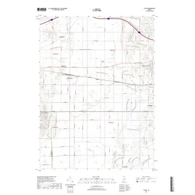
2019 Map of Lydick
USGS Topo · Published 2019About this map
New Carlisle and the surrounding plains of St. Joseph County are defined by a complex network of drainage and transport. The landscape is crisscrossed by several engineered waterways, including Geyer Ditch, Taylor Ditch, and Laskowski Ditch, which manage the low-lying terrain near Lost Lake. This area, once part of the historic Terre Coupee prairie, shows a dense concentration of small settlements like Olive, Zeigler, and Hubbard that grew along the vital east-west corridor of Lincolnway W and the rail lines. A more modern recreational layer is visible through the extensive Buffalo Run Snowmobile Trail, which winds past Hustons Airport and through the community of Hamilton. These trails and roads connect the rural farmsteads to established residential pockets such as Chain-O-Lakes and Lydick.
Find a feature on this map
82 named features on this map. Tap any name to fly to it.
Don’t see what you’re looking for? This feature index may not catch every label — zoom into the map to look around manually.
Map Details
Editions of this 2019 Lydick Map
This is the sole edition of this map. No revisions or reprints were ever made.
Other maps of this area

1927 · Niles
USGS Topo · 1:62,500

1930 · Three Oaks
USGS Topo · 1:62,500

1930 · Niles
USGS Topo · 1:62,500

1943 · Niles
USGS Topo · 1:62,500

1944 · Three Oaks
USGS Topo · 1:62,500

1953 · Chicago
USGS Topo · 1:250,000

1957 · Chicago
USGS Topo · 1:250,000

1958 · South Bend West
USGS Topo · 1:24,000

1958 · Lydick
USGS Topo · 1:24,000

1958 · Stillwell
USGS Topo · 1:24,000