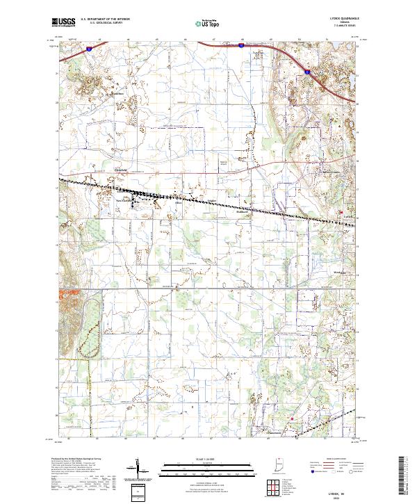
2022 Map of Lydick
USGS Topo · Published 2022About this map
New Carlisle and the surrounding township of Terre Coupee anchor the western edge of this survey in St. Joseph County. The landscape is defined by an intricate network of drainage systems, including the Taylor Ditch, Geyer Ditch, and Laskowski Ditch, which manage the water levels of the region's low-lying glacial terrain. To the east, the residential development of Chain-O-Lakes sits near the namesake Chain-O-Lakes Ditch, while the small clusters of Lydick and Westfield mark the approach to the larger urban center just off the sheet. Transportation routes are a mix of historic paths like the Chicago Trl and modern infrastructure like Lincolnway W, alongside the modern utility of Hustons Airport. The presence of the Buffalo-Run Snowmobile Trl crisscrossing the northern and southern sectors highlights the contemporary recreational use of this rural-suburban corridor.
Find a feature on this map
81 named features on this map. Tap any name to fly to it.
Don’t see what you’re looking for? This feature index may not catch every label — zoom into the map to look around manually.
Map Details
Editions of this 2022 Lydick Map
This is the sole edition of this map. No revisions or reprints were ever made.
Other maps of this area

1927 · Niles
USGS Topo · 1:62,500

1930 · Three Oaks
USGS Topo · 1:62,500

1930 · Niles
USGS Topo · 1:62,500

1943 · Niles
USGS Topo · 1:62,500

1944 · Three Oaks
USGS Topo · 1:62,500

1953 · Chicago
USGS Topo · 1:250,000

1957 · Chicago
USGS Topo · 1:250,000

1958 · South Bend West
USGS Topo · 1:24,000

1958 · Lydick
USGS Topo · 1:24,000

1958 · Stillwell
USGS Topo · 1:24,000