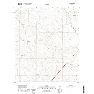
2018 Map of Lyeffion
USGS Topo · Published 2018About this map
The Sepulga River basin defines this corner of Alabama, where the confluence of the E Sepulga River and W Sepulga River feeds into the primary channel. This rural landscape is anchored by the community of Lyeffion and the neighboring Cooks Crossroads, areas where the road network still follows historical section lines and creek beds. Local genealogy is well-represented through several traditional burial grounds, including the Mount Olive West Cem near Grace and the Second Mount Zion Cem to the south.
Find a feature on this map
59 named features on this map. Tap any name to fly to it.
Don’t see what you’re looking for? This feature index may not catch every label — zoom into the map to look around manually.
Map Details
Editions of this 2018 Lyeffion Map
This is the sole edition of this map. No revisions or reprints were ever made.
Other maps of this area

1953 · Andalusia
USGS Topo · 1:250,000

1957 · Andalusia
USGS Topo · 1:250,000

1971 · Lyeffion
USGS Topo · 1:24,000

1971 · Belleville
USGS Topo · 1:24,000

1971 · Garland
USGS Topo · 1:24,000

1971 · Skinnerton
USGS Topo · 1:24,000

1971 · China
USGS Topo · 1:24,000

1971 · Bethel
USGS Topo · 1:24,000

1971 · Georgiana West
USGS Topo · 1:24,000

1982 · Evergreen
USGS Topo · 1:24,000