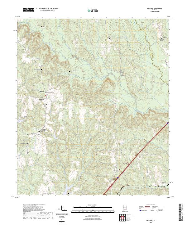
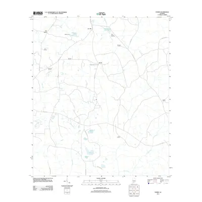
2024 Map of Lyeffion
USGS Topo · Published 2024About this map
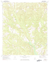
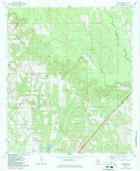
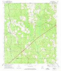
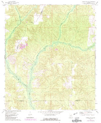
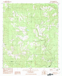
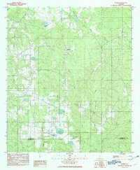
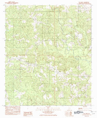
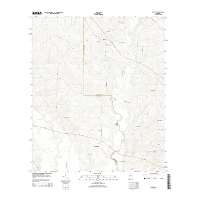
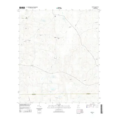
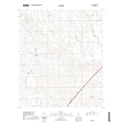
The Sepulga River and its primary tributaries, the West Sepulga River and East Sepulga River, define the rural landscape of northeast Conecuh County. This agrarian region is anchored by the small community of Lyeffion, where the Lyeffion Baptist Church and its adjacent Lyeffion Baptist Church Cem serve as long-standing local landmarks. The map documents a high density of family and community burial grounds, such as the Ward - Witherington Cem and Joyner Cem, which offer significant value for genealogical research in this part of Alabama.
Find a feature on this map
67 named features on this map. Tap any name to fly to it.
Don’t see what you’re looking for? This feature index may not catch every label — zoom into the map to look around manually.
Map Details
Editions of this 2024 Lyeffion Map
This is the sole edition of this map. No revisions or reprints were ever made.
Historical Maps of Bowles Through Time
60 maps found
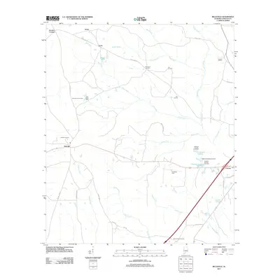
1971 Belleville
Conecuh County, AL
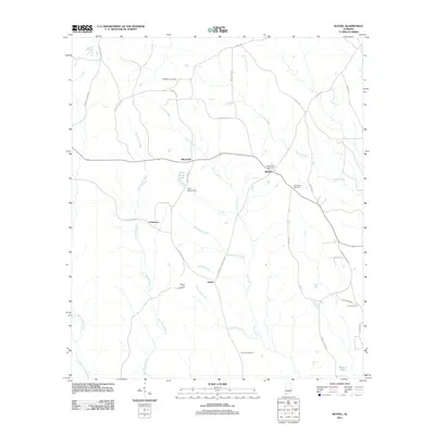
1971 Bethel
Conecuh County, AL
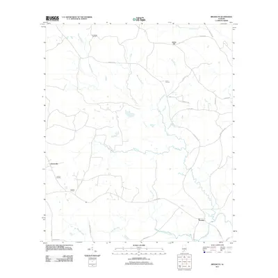
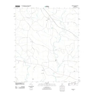
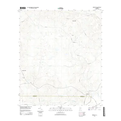
1971 Brooks
Conecuh County, AL
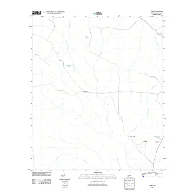
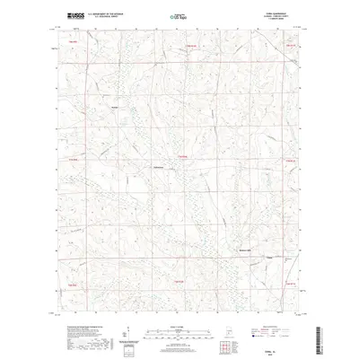
1971 China
Conecuh County, AL
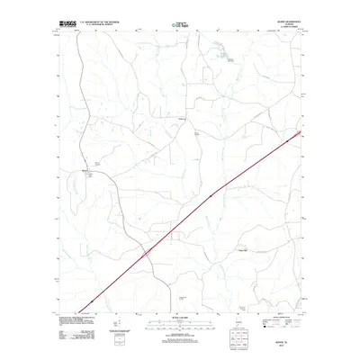
1971 Lyeffion
Conecuh County, AL
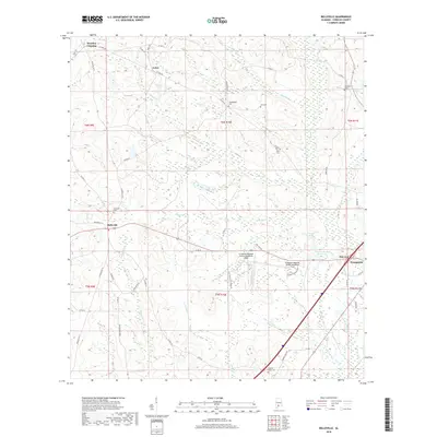
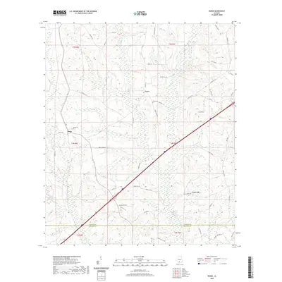
1971 Range
Conecuh County, AL
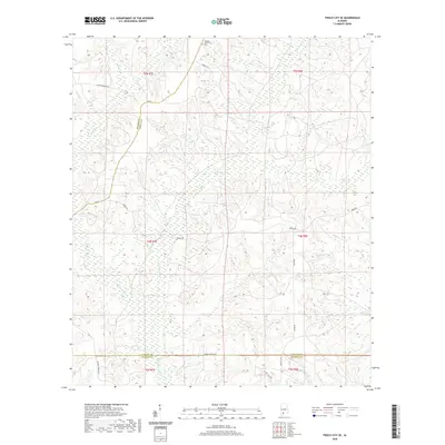
1972 Frisco City SE
Conecuh County, AL
1982 Brooklyn
Conecuh County, AL
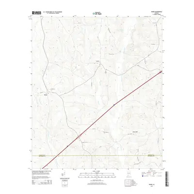
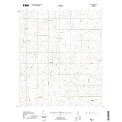
1982 Nymph
Conecuh County, AL
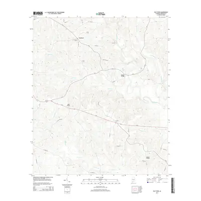
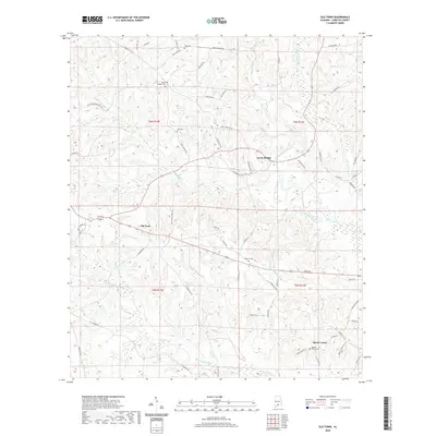
1982 Old Town
Conecuh County, AL
2011 Belleville
Conecuh County, AL
2011 Bethel
Conecuh County, AL
2011 Brooklyn
Conecuh County, AL
2011 Brooks
Conecuh County, AL
2011 China
Conecuh County, AL
2011 Frisco City SE
Conecuh County, AL
2011 Lyeffion
Conecuh County, AL
2011 Nymph
Conecuh County, AL
2011 Old Town
Conecuh County, AL
2011 Range
Conecuh County, AL
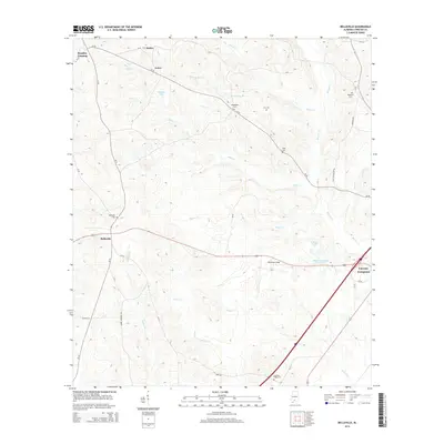
2014 Belleville
Conecuh County, AL
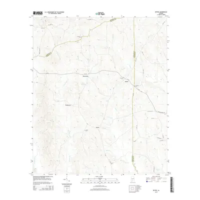
2014 Bethel
Conecuh County, AL
2014 Brooklyn
Conecuh County, AL
2014 Brooks
Conecuh County, AL
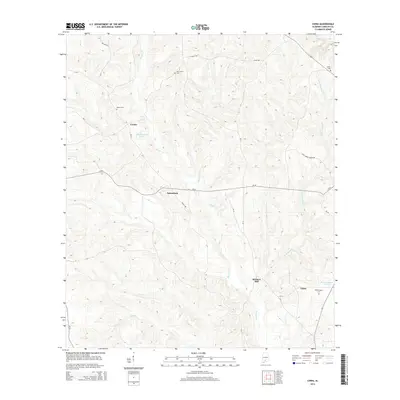
2014 China
Conecuh County, AL
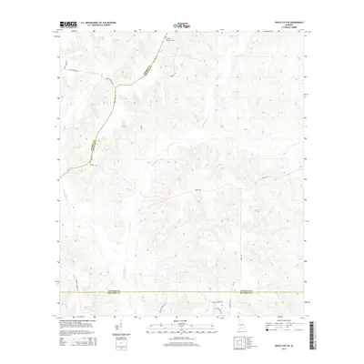
2014 Frisco City SE
Conecuh County, AL
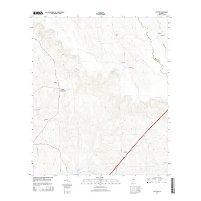
2014 Lyeffion
Conecuh County, AL
2014 Nymph
Conecuh County, AL
2014 Old Town
Conecuh County, AL
2014 Range
Conecuh County, AL
2018 Belleville
Conecuh County, AL
2018 Bethel
Conecuh County, AL
2018 Brooklyn
Conecuh County, AL
2018 Brooks
Conecuh County, AL
2018 China
Conecuh County, AL
2018 Frisco City SE
Conecuh County, AL
2018 Lyeffion
Conecuh County, AL
2018 Nymph
Conecuh County, AL

2018 Old Town
Conecuh County, AL
2018 Range
Conecuh County, AL
2020 Belleville
Conecuh County, AL
2020 Bethel
Conecuh County, AL
2020 Brooklyn
Conecuh County, AL
2020 Brooks
Conecuh County, AL
2020 China
Conecuh County, AL
2020 Frisco City SE
Conecuh County, AL
2020 Lyeffion
Conecuh County, AL
2020 Nymph
Conecuh County, AL
2020 Old Town
Conecuh County, AL
2020 Range
Conecuh County, AL
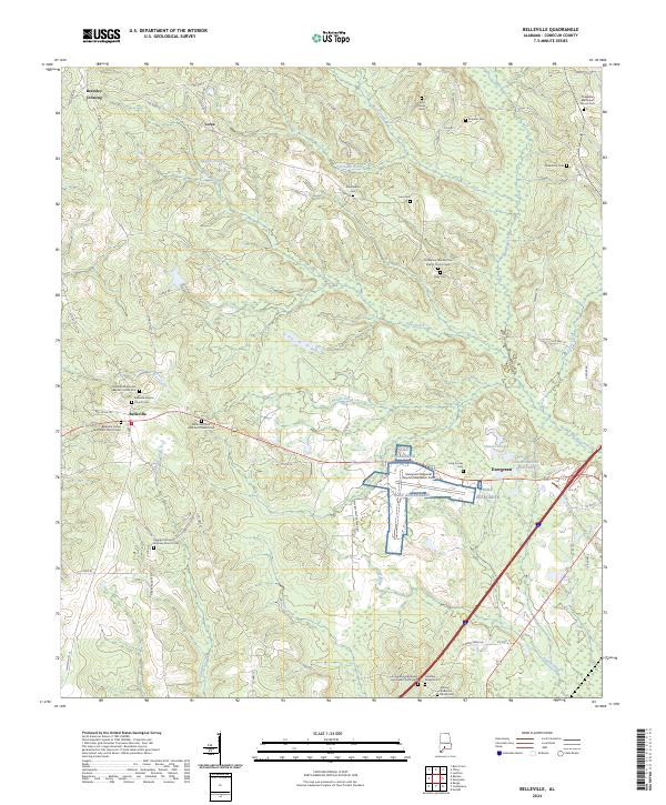
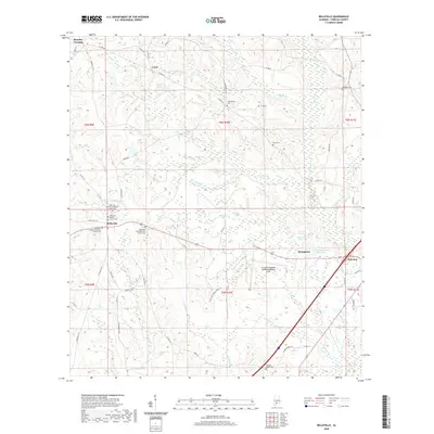
2024 Belleville
Conecuh County, AL
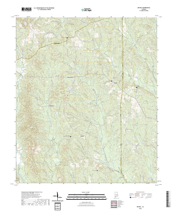
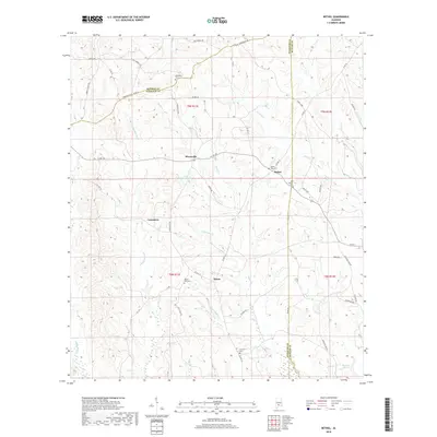
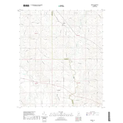
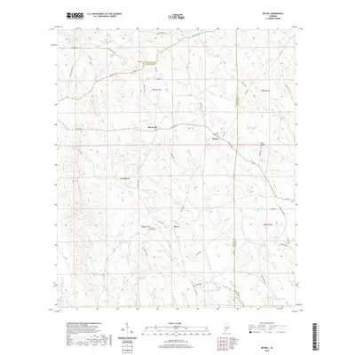
2024 Bethel
Conecuh County, AL
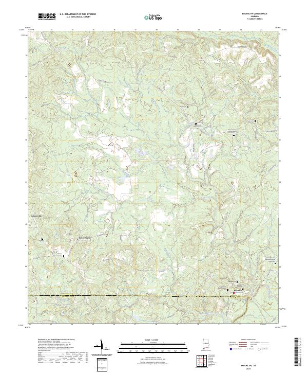
2024 Brooklyn
Conecuh County, AL
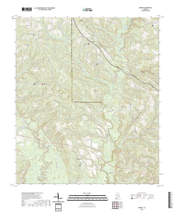
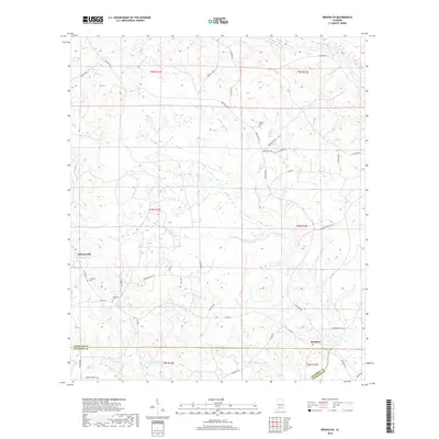
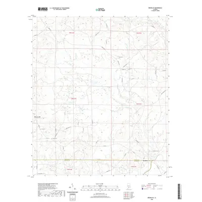
2024 Brooks
Conecuh County, AL
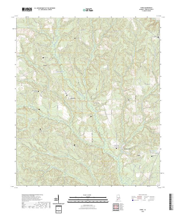
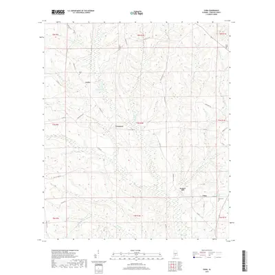
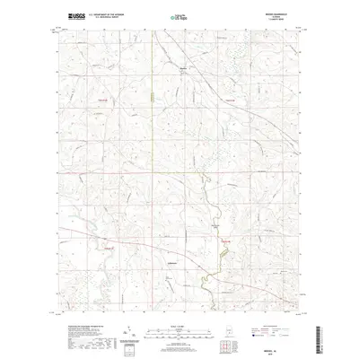
2024 China
Conecuh County, AL
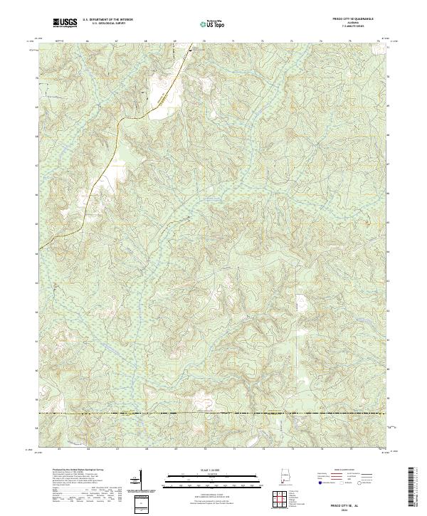
2024 Frisco City SE
Conecuh County, AL
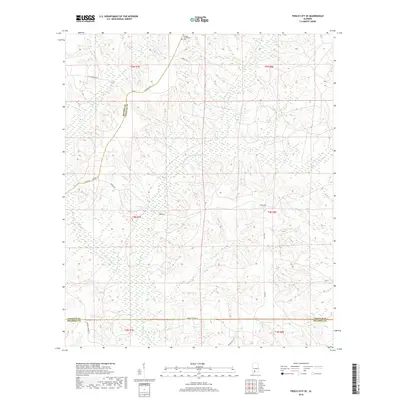
2024 Lyeffion
Conecuh County, AL
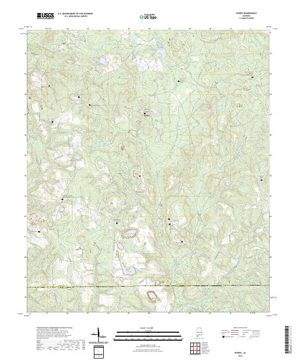
2024 Nymph
Conecuh County, AL
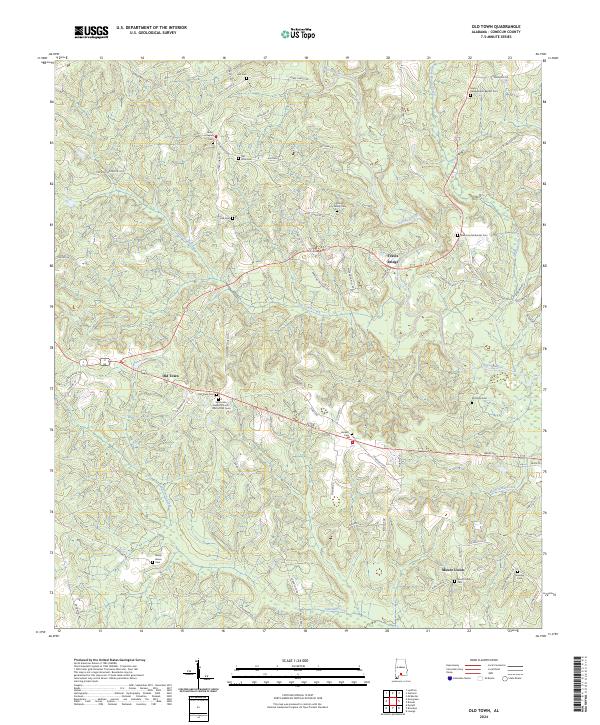
2024 Old Town
Conecuh County, AL
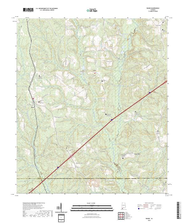
2024 Range
Conecuh County, AL