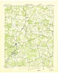
1936 Map of Lyles
USGS Topo · Published 1936About this map
The Tennessee Basin Divide winds across this 1930s landscape, separating the rugged drainages of Turnbull Creek and Bear Creek. The industrial and transport hub of Lyles anchors the southwestern quadrant, where the Nashville Chattanooga and St Louis Railway intersects with an extensive network of local roads and creek hollows. Nearby, the settlement of Wrigley sits adjacent to a prominent reservoir and pumping station, signaling the importance of water infrastructure for the area's early 20th-century development.
Find a feature on this map
68 named features on this map. Tap any name to fly to it.
Don’t see what you’re looking for? This feature index may not catch every label — zoom into the map to look around manually.
Map Details
Editions of this 1936 Lyles Map
This is the sole edition of this map. No revisions or reprints were ever made.
Other maps of this area

1901 · Colombia
USGS Topo · 1:125,000
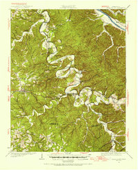
1930 · White Bluff
USGS Topo · 1:62,500
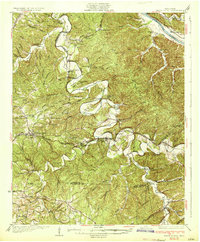
1933 · White Bluff
USGS Topo · 1:62,500
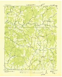
1936 · Primm
USGS Topo · 1:24,000
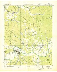
1936 · Nunnelly
USGS Topo · 1:24,000
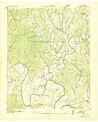
1936 · Littlelot
USGS Topo · 1:24,000
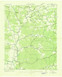
1936 · Texas Hollow
USGS Topo · 1:24,000
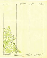
1936 · Burns
USGS Topo · 1:24,000
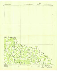
1936 · Craigfield
USGS Topo · 1:24,000
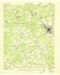
1936 · Dickson
USGS Topo · 1:24,000