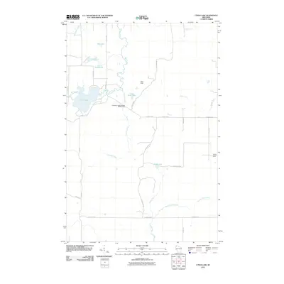
2010 Map of Lyman Lake
USGS Topo · Published 2010About this map
Lyman Lake and a complex network of waterways dominate this portion of Douglas County, where the Amnicon River and Little Amnicon River converge amidst a cluster of glacial lakes. The landscape reflects a mix of natural hydrology and water management, evidenced by the Cranberry Creek Flowage 3WR402 Dam situated south of the main lake. To the north, Deer Lake, Long Lake, and Round Lake sit along the S County Hwy-L corridor, while Pikes Peak provides a rare point of elevation in the central terrain.
Find a feature on this map
28 named features on this map. Tap any name to fly to it.
Don’t see what you’re looking for? This feature index may not catch every label — zoom into the map to look around manually.
Map Details
Editions of this 2010 Lyman Lake Map
This is the sole edition of this map. No revisions or reprints were ever made.
Other maps of this area

1915 · Superior
USGS Topo · 1:48,000

1917 · Superior
USGS Topo · 1:62,500

1945 · Solon Springs
USGS Topo · 1:48,000

1949 · Solon Springs
USGS Topo · 1:48,000

1949 · Patzau
USGS Topo · 1:48,000

1949 · Poplar
USGS Topo · 1:48,000

1953 · Ashland
USGS Topo · 1:250,000

1953 · Duluth
USGS Topo · 1:250,000

1954 · Sunnyside
USGS Topo · 1:24,000

1954 · Amnicon Lake
USGS Topo · 1:24,000