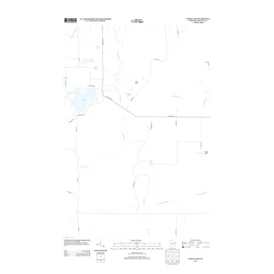
2013 Map of Lyman Lake
USGS Topo · Published 2013About this map
Lyman Lake and the surrounding woodlands of Douglas County define this landscape as it appeared in the early 21st century. The hydrography is notably complex, with the Amnicon River and Little Amnicon River winding through the northern reaches, while the Moose River and E Fork Moose River drain the southern sections. This area of Wisconsin is characterized by numerous small glacial lakes, including Deer Lake, Long Lake, Round Lake, and the curiously named Three Bucks Lakes.
Find a feature on this map
30 named features on this map. Tap any name to fly to it.
Don’t see what you’re looking for? This feature index may not catch every label — zoom into the map to look around manually.
Map Details
Editions of this 2013 Lyman Lake Map
This is the sole edition of this map. No revisions or reprints were ever made.
Other maps of this area

1915 · Superior
USGS Topo · 1:48,000

1917 · Superior
USGS Topo · 1:62,500

1945 · Solon Springs
USGS Topo · 1:48,000

1949 · Solon Springs
USGS Topo · 1:48,000

1949 · Patzau
USGS Topo · 1:48,000

1949 · Poplar
USGS Topo · 1:48,000

1953 · Ashland
USGS Topo · 1:250,000

1953 · Duluth
USGS Topo · 1:250,000

1954 · Sunnyside
USGS Topo · 1:24,000

1954 · Amnicon Lake
USGS Topo · 1:24,000