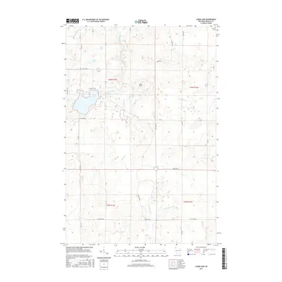
2015 Map of Lyman Lake
USGS Topo · Published 2015About this map
Lyman Lake and a series of nearby water bodies including Long Lake, Round Lake, and Scout Lake define this northern Wisconsin landscape. The terrain is characterized by a dense network of waterways, with the Amnicon River and Little Amnicon River flowing through the northern sections, while the Moose River and E Fork Moose River drain the southern reaches. This 2015 data illustrates a region largely defined by its glacial hydrology and modern rural road system, with family-named routes such as Jerry Rd, Lucas Rd, and Gregersen Rd providing access to the interior woods and wetlands. In the northeast corner, the Parkview Cem stands as a focal point for genealogical interest, situated near the headwaters of Silver Cr. Notable elevations like Pikes Peak provide contrast to the numerous wetland basins such as Cranberry Cr and the Three Bucks Lakes.
Find a feature on this map
40 named features on this map. Tap any name to fly to it.
Don’t see what you’re looking for? This feature index may not catch every label — zoom into the map to look around manually.
Map Details
Editions of this 2015 Lyman Lake Map
This is the sole edition of this map. No revisions or reprints were ever made.
Other maps of this area

1915 · Superior
USGS Topo · 1:48,000

1917 · Superior
USGS Topo · 1:62,500

1945 · Solon Springs
USGS Topo · 1:48,000

1949 · Solon Springs
USGS Topo · 1:48,000

1949 · Patzau
USGS Topo · 1:48,000

1949 · Poplar
USGS Topo · 1:48,000

1953 · Ashland
USGS Topo · 1:250,000

1953 · Duluth
USGS Topo · 1:250,000

1954 · Sunnyside
USGS Topo · 1:24,000

1954 · Amnicon Lake
USGS Topo · 1:24,000