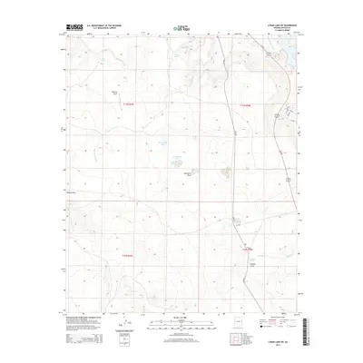
2014 Map of Lyman Lake SW
USGS Topo · Published 2014About this map
Lyman Lake and the Little Colorado River define the northeastern corner of this high-desert landscape in Apache County. The terrain is a network of drainage systems including Alamo Wash, Big Hollow Wash, and Chimney Wash, which carve through the arid plateaus. Water sources are critical markers in this environment, with several named points of interest such as Mud Spring, Chimney Spring, and Straddling Spring providing historical context for land use in the region.
Find a feature on this map
30 named features on this map. Tap any name to fly to it.
Don’t see what you’re looking for? This feature index may not catch every label — zoom into the map to look around manually.
Map Details
Editions of this 2014 Lyman Lake SW Map
This is the sole edition of this map. No revisions or reprints were ever made.
Other maps of this area

1886 · St Johns
USGS Topo · 1:250,000

1892 · St Johns
USGS Topo · 1:250,000

1954 · Saint Johns
USGS Topo · 1:250,000

1957 · Saint Johns
USGS Topo · 1:250,000

1958 · Saint Johns
USGS Topo · 1:250,000

1962 · Saint Johns
USGS Topo · 1:250,000

1968 · Springerville NW
USGS Topo · 1:24,000

1969 · Whiting Knoll
USGS Topo · 1:24,000
1969 · Springerville
USGS Topo · 1:24,000
1971 · Cerro Hueco
USGS Topo · 1:24,000