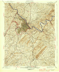
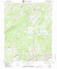
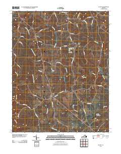
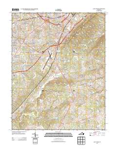
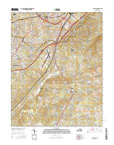
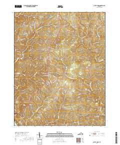
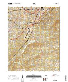
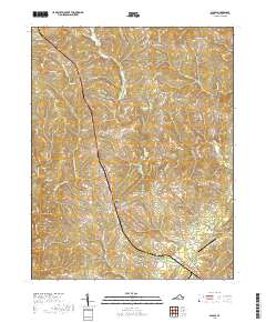
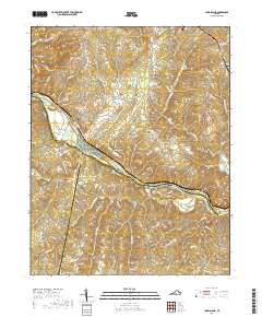
1944 Map of Lynchburg
USGS Topo · Published 1944About this map
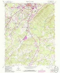
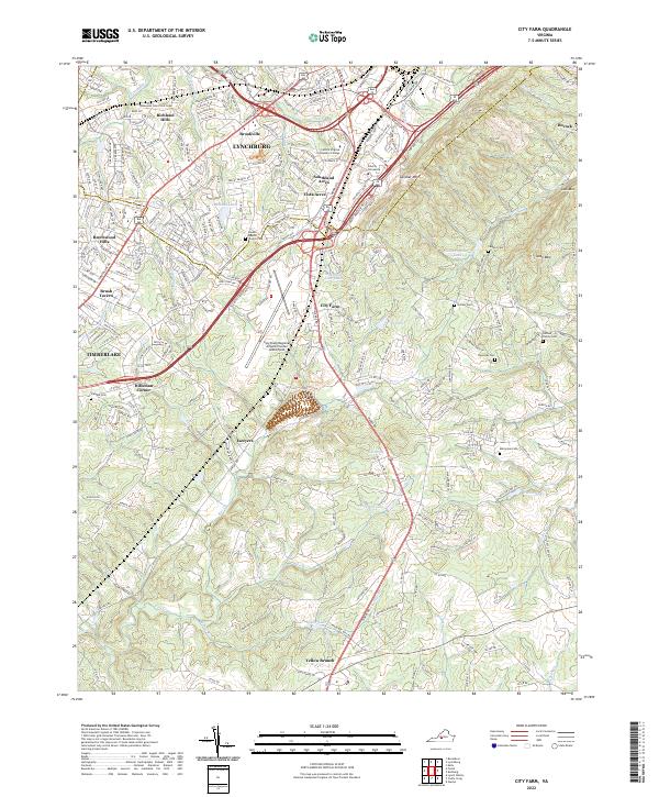
The James River carves a winding path through the heart of this region, shaping the industrial and institutional layout of Lynchburg and its surrounding communities during the late 1930s. The city's growth is anchored by significant landmarks like Lynchburg College and Randolph Macon Womens College, while the riverside is defined by the Reusens Dam and the bustling rail corridors of the Southern and Chesapeake and Ohio railroads.
Find a feature on this map
91 named features on this map. Tap any name to fly to it.
Don’t see what you’re looking for? This feature index may not catch every label — zoom into the map to look around manually.
Map Details
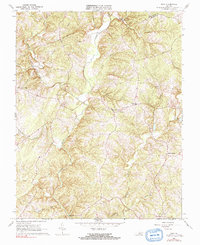
Editions of this 1944 Lynchburg Map

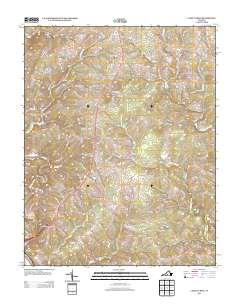
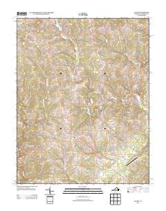
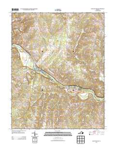
Historical Maps of Lynchburg Through Time
40 maps found
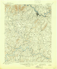
1892 Lynchburg
Campbell County, VA
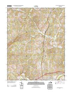
1944 Lynchburg
Campbell County, VA

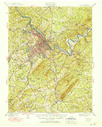
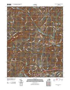
1950 Lynchburg
Campbell County, VA
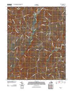
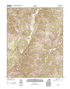
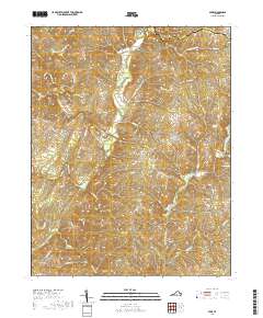
1956 Gladys
Campbell County, VA
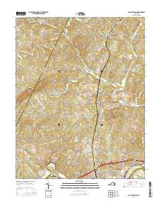
1963 City Farm
Campbell County, VA
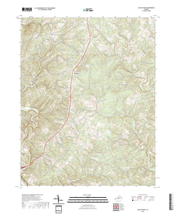
1966 Castle Craig
Campbell County, VA
1966 Gladys
Campbell County, VA
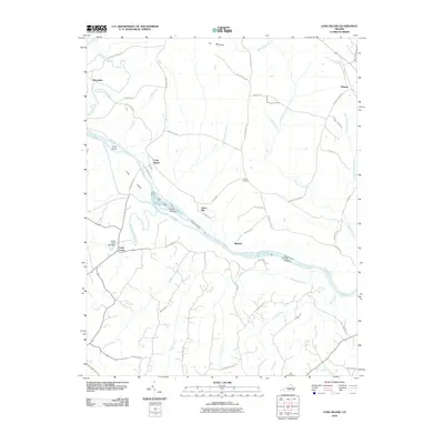
1966 Long Island
Campbell County, VA
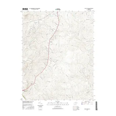
1966 Lynch Station
Campbell County, VA
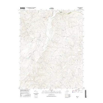
1966 Mike
Campbell County, VA
2010 Castle Craig
Campbell County, VA
2010 City Farm
Campbell County, VA
2010 Gladys
Campbell County, VA
2010 Long Island
Campbell County, VA
2010 Lynch Station
Campbell County, VA
2010 Mike
Campbell County, VA
2013 Castle Craig
Campbell County, VA
2013 City Farm
Campbell County, VA
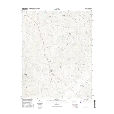
2013 Gladys
Campbell County, VA
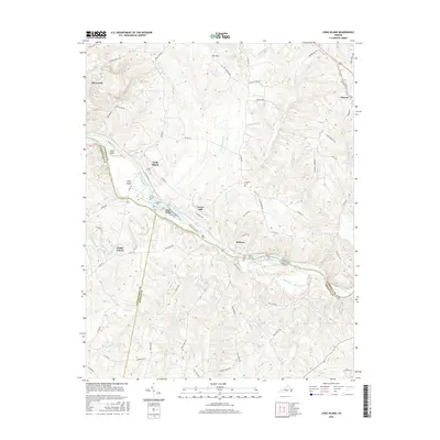
2013 Long Island
Campbell County, VA
2013 Lynch Station
Campbell County, VA
2013 Mike
Campbell County, VA
2016 Castle Craig
Campbell County, VA
2016 City Farm
Campbell County, VA
2016 Gladys
Campbell County, VA
2016 Long Island
Campbell County, VA
2016 Lynch Station
Campbell County, VA
2016 Mike
Campbell County, VA
2019 Castle Craig
Campbell County, VA
2019 City Farm
Campbell County, VA
2019 Gladys
Campbell County, VA
2019 Long Island
Campbell County, VA
2019 Lynch Station
Campbell County, VA
2019 Mike
Campbell County, VA
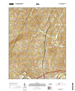
2022 Castle Craig
Campbell County, VA
2022 City Farm
Campbell County, VA
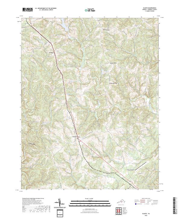
2022 Gladys
Campbell County, VA
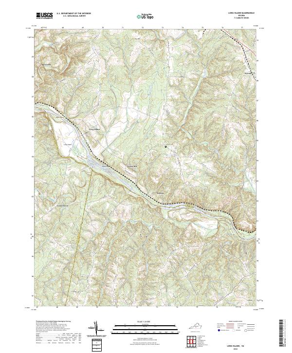
2022 Long Island
Campbell County, VA
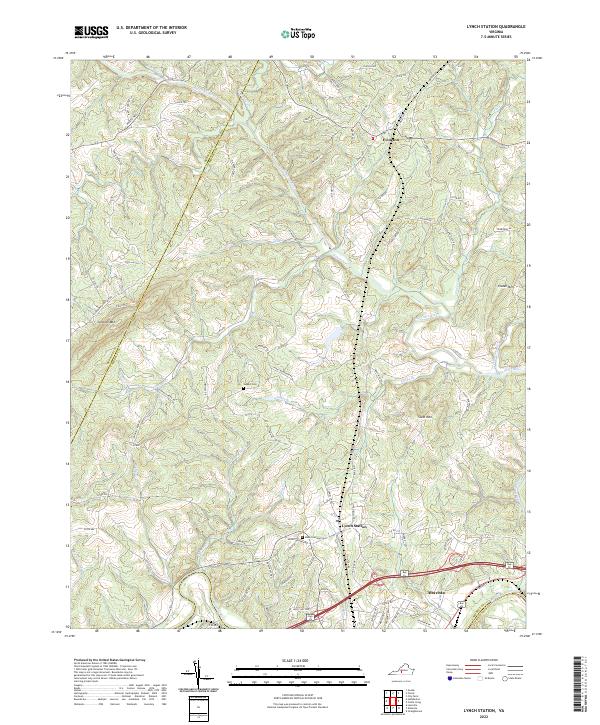
2022 Lynch Station
Campbell County, VA
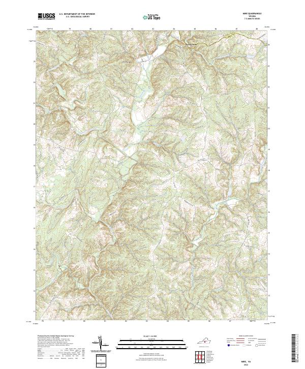
2022 Mike
Campbell County, VA