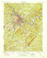
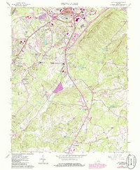
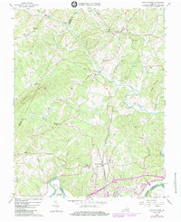
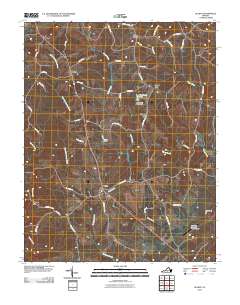
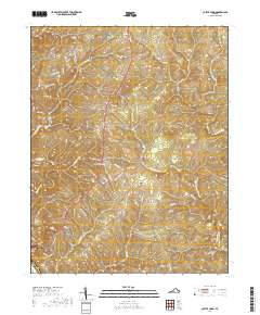
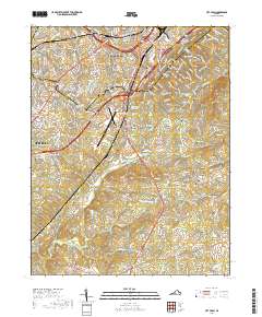
1944 Map of Lynchburg
USGS Topo · Published 1951About this map
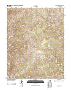
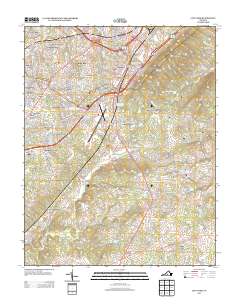
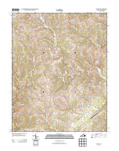
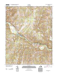
Lynchburg and its surrounding heights dominate this mid-century landscape, positioned at a critical junction of the James River and several major rail lines. The city’s academic and industrial foundations are clearly visible, from the campuses of Randolph Macon Womens College and Lynchburg College to the Quarry and Reusens Dam. Moving east across the river into Madison Heights and south toward the county seat of Rustburg, the terrain shifts into a complex network of ridges like Jack Mountain and small agricultural communities. This era captures the region's diverse infrastructure, including Preston Glenn Airport and a wealth of local landmarks such as Oxford Furnace and the Rosenwald Sch, reflecting the deep social and economic layers of central Virginia during the post-war transition.
Find a feature on this map
93 named features on this map. Tap any name to fly to it.
Don’t see what you’re looking for? This feature index may not catch every label — zoom into the map to look around manually.
Map Details
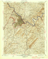
Editions of this 1944 Lynchburg Map

Historical Maps of Lynchburg Through Time
40 maps found
1892 Lynchburg
Campbell County, VA
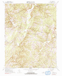
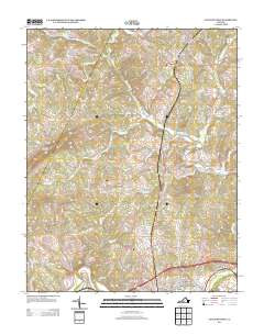
1944 Lynchburg
Campbell County, VA

1950 Lynchburg
Campbell County, VA
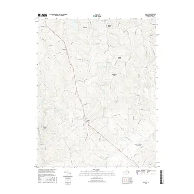
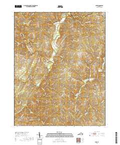
1956 Gladys
Campbell County, VA
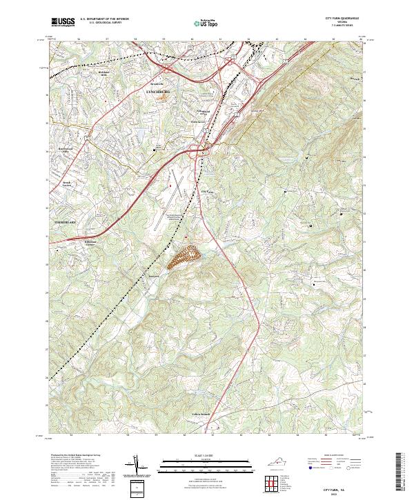
1963 City Farm
Campbell County, VA
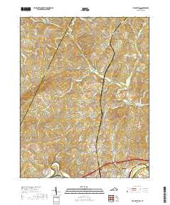
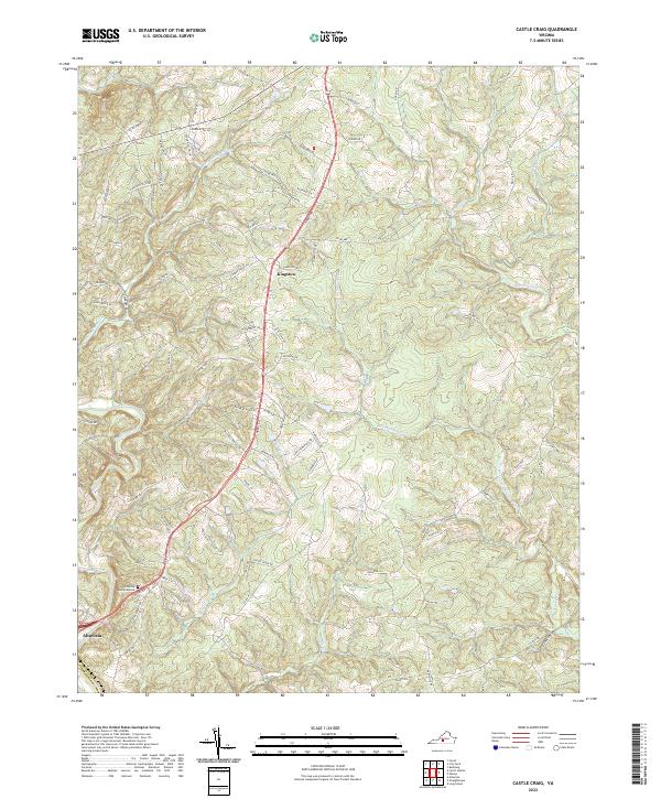
1966 Castle Craig
Campbell County, VA
1966 Gladys
Campbell County, VA
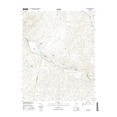
1966 Long Island
Campbell County, VA
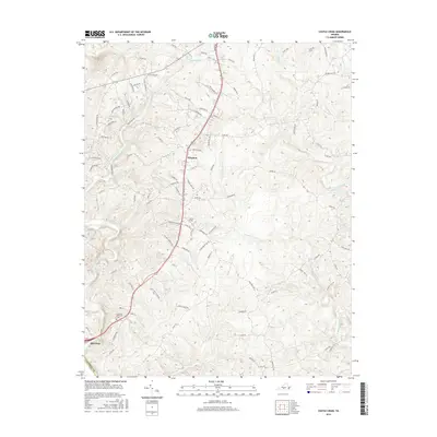
1966 Lynch Station
Campbell County, VA
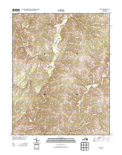
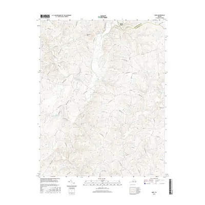
1966 Mike
Campbell County, VA
2010 Castle Craig
Campbell County, VA
2010 City Farm
Campbell County, VA
2010 Gladys
Campbell County, VA
2010 Long Island
Campbell County, VA
2010 Lynch Station
Campbell County, VA
2010 Mike
Campbell County, VA
2013 Castle Craig
Campbell County, VA
2013 City Farm
Campbell County, VA
2013 Gladys
Campbell County, VA
2013 Long Island
Campbell County, VA
2013 Lynch Station
Campbell County, VA
2013 Mike
Campbell County, VA
2016 Castle Craig
Campbell County, VA
2016 City Farm
Campbell County, VA
2016 Gladys
Campbell County, VA
2016 Long Island
Campbell County, VA
2016 Lynch Station
Campbell County, VA
2016 Mike
Campbell County, VA
2019 Castle Craig
Campbell County, VA
2019 City Farm
Campbell County, VA
2019 Gladys
Campbell County, VA
2019 Long Island
Campbell County, VA
2019 Lynch Station
Campbell County, VA
2019 Mike
Campbell County, VA
2022 Castle Craig
Campbell County, VA
2022 City Farm
Campbell County, VA
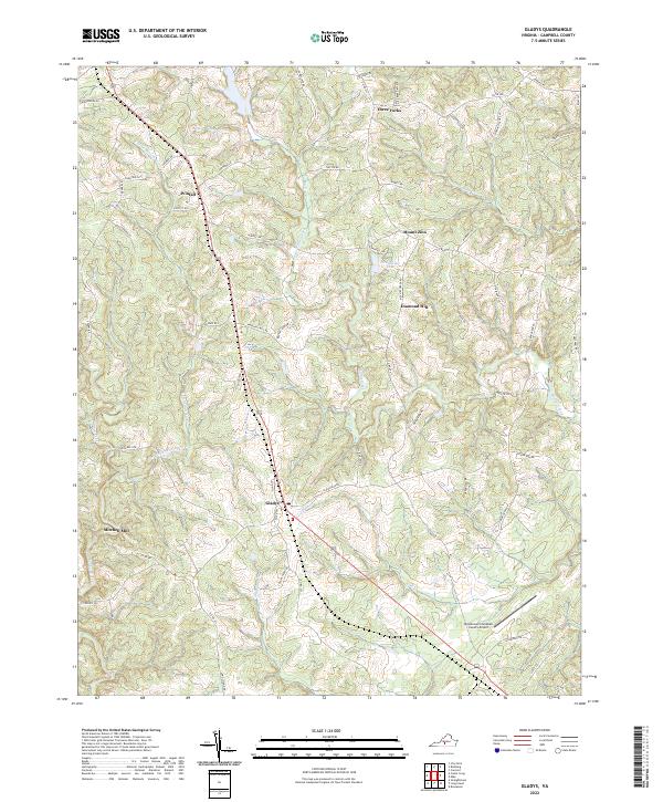
2022 Gladys
Campbell County, VA
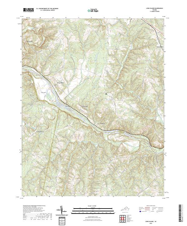
2022 Long Island
Campbell County, VA
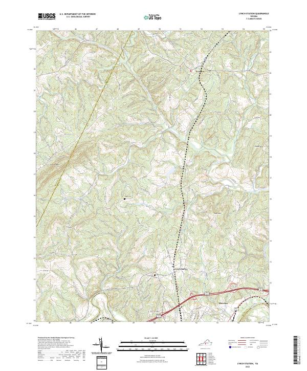
2022 Lynch Station
Campbell County, VA
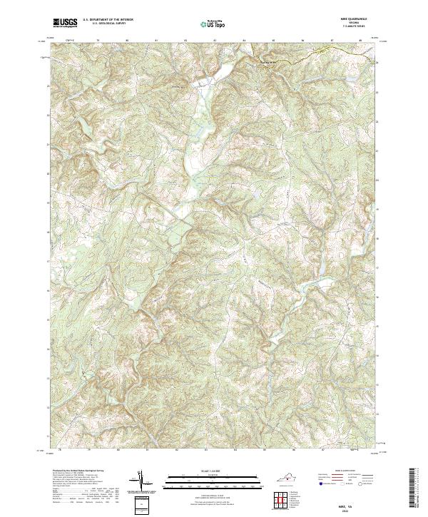
2022 Mike
Campbell County, VA