
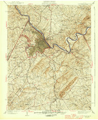
1944 Map of Lynchburg
USGS Topo · Published 1944About this map
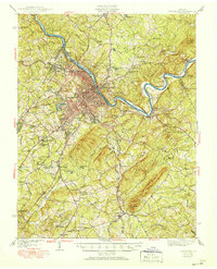
The James River anchors this mid-century survey of the Central Virginia piedmont, where the industrial and educational center of Lynchburg meets the steep, wooded slopes of Candlers Mountain. The city's growth is evident through its institutional landmarks, including Randolph Macon Womens College and Lynchburg College, alongside the Presbyterian Orphans Home. In this era, the region’s economic vitality is defined by a dense intersection of major rail lines—the Southern Railway, Norfolk and Western Railway, Chesapeake and Ohio Railway, and the Virginian Railway—which weave through the river valley to support the city and nearby settlements like Madison Heights and Monroe.
Find a feature on this map
89 named features on this map. Tap any name to fly to it.
Don’t see what you’re looking for? This feature index may not catch every label — zoom into the map to look around manually.
Map Details
Editions of this 1944 Lynchburg Map
Other maps of this area

1892 · Lynchburg
USGS Topo · 1:125,000

1892 · Buckingham
USGS Topo · 1:125,000

1892 · Appomattox
USGS Topo · 1:125,000

1894 · Lexington
USGS Topo · 1:125,000

1935 · Buena Vista
USGS Topo · 1:48,000

1935 · Amherst
USGS Topo · 1:48,000

1939 · Amherst
USGS Topo · 1:62,500

1939 · Buena Vista
USGS Topo · 1:62,500

1940 · Buena Vista
USGS Topo · 1:62,500

1947 · Roanoke
USGS Topo · 1:250,000